Today was a sad day: the chocolate bar I had in my car for when I finished the incline melted. At least I still had a (warm) fruit cup. I need to stock up on energy bars and sports drinks, either to take with me or for when I get back off the mountain. There’s actually a little shop at the base of the incline, but both times I’ve been recently it was closed by the time I got down (so it closes before 5:45 pm).
For context for the post title, my dad asked me what to do with the Google Cardboard he ordered for us to play with on vacation this year. I heard about it when he sent me an email telling me to figure out what to do with it. It’s a virtual-reality glasses thing, so the first thing that came to mind was panoramic pictures so you can turn your head while wearing the goggles to look around the picture. I live in near a wonderfully-picturesque mountain range, I just don’t typically think to take that kind of picture (nor do I go hiking all that often…).
I’d already been planning to hike the incline again for exercise, so I just had to make sure to take some good panoramas. The problem is that it takes time to fill out a photo-sphere (which angles up and down, not just around) and the incline is typically fairly busy so I didn’t want to be standing in the middle of the trail taking a bunch of pictures, especially when to the sides are just dense trees. Fortunately I was able to find an excellent view at the top.
Here’s a picture from the top of the incline:
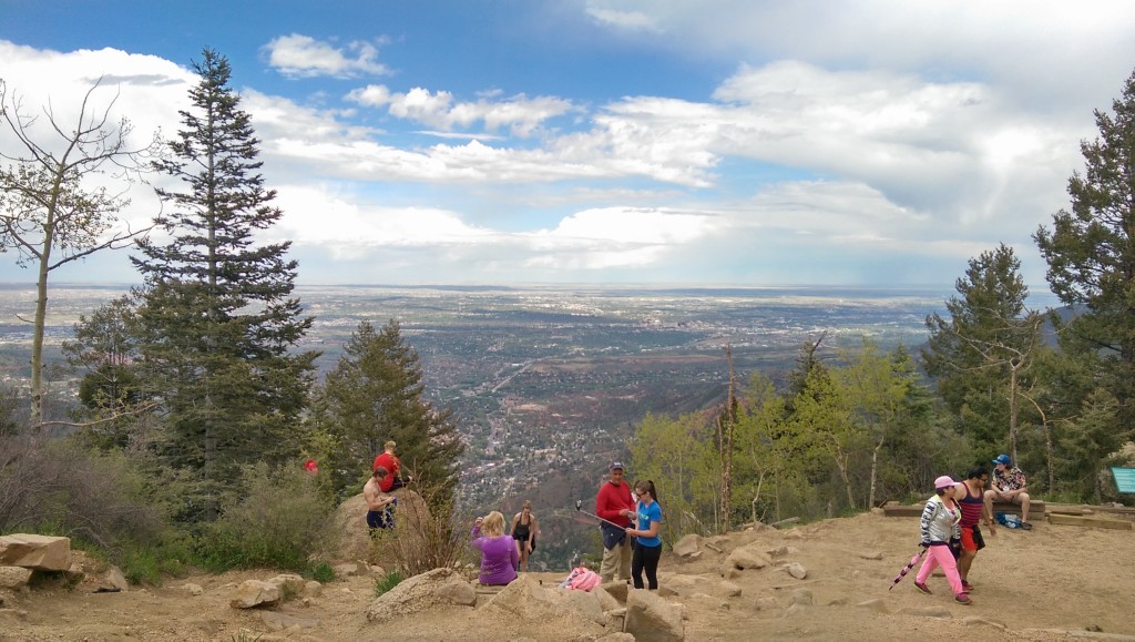
The weather was nicer this weekend (at least when I took this picture, I got rained on later), but the view is framed by trees so I didn’t think it made a good candidate for a panorama.
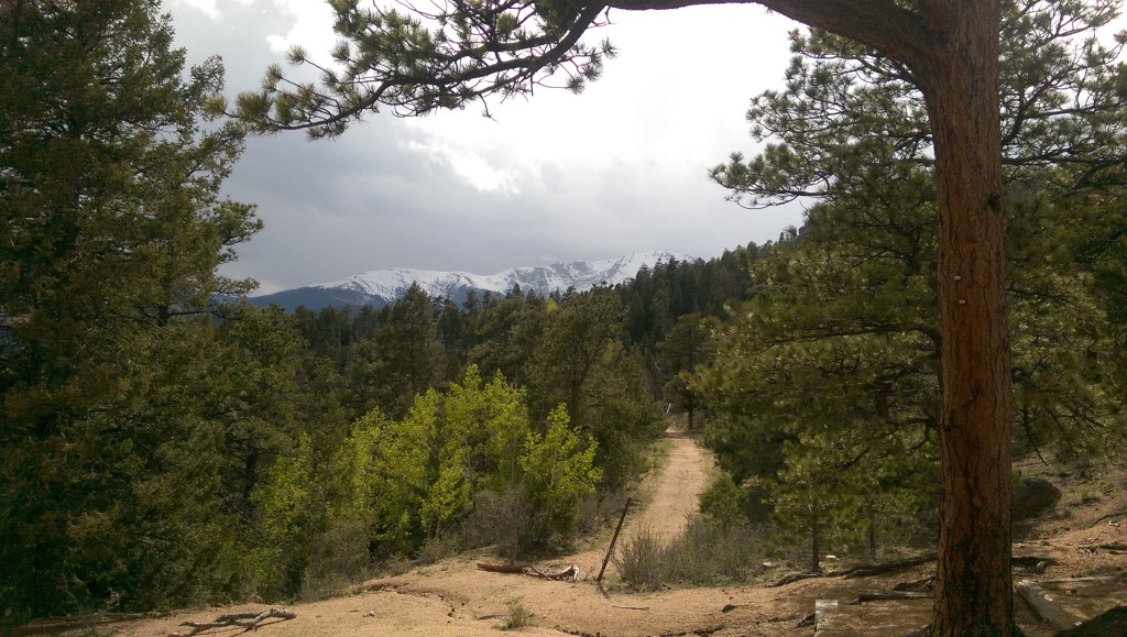
I hadn’t looked around at the top of the incline before. Here’s a nice view of Pike’s Peak with a trail leading in that general direction, which made me think there might be a good overlook farther up the mountain.
A short way up the trail I found this, which certainly looked promising:
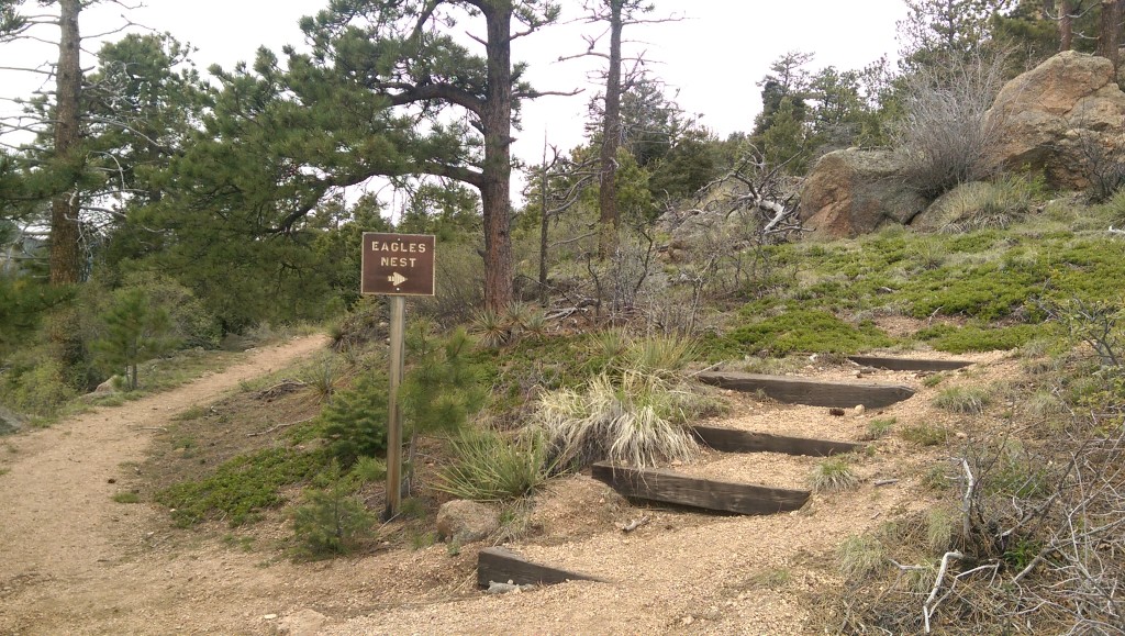
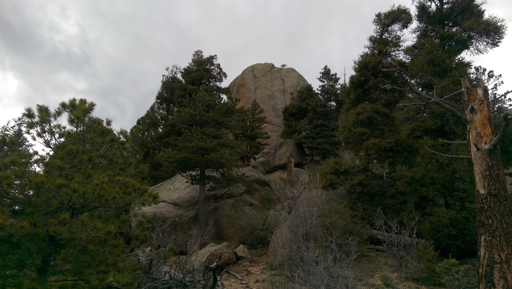
It was pointing towards this, even better (I have no idea if this actually is Eagle’s Nest or if that’s a higher outcropping – there were a number marching up the ridge and I just stopped at the first):
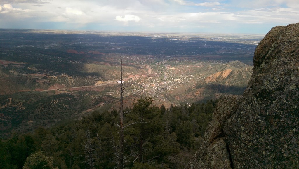
Unfortunately it’s late and I haven’t found an easy way to post a photosphere such that you can actually look around in it, so here’s the view from sitting on the side of the big rock in the previous picture (not standing because it was cold and windy and there were large drop-offs on either side):
Testing something new, here’s a map with the incline and other point of interest for this trip marked:
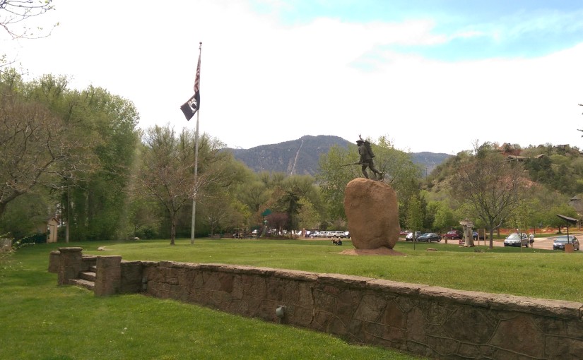
The title image is the view of the Manitou Incline from Memorial Park in Manitou Springs.
