My mom came up to visit for Memorial Day weekend, which meant that I drove all the way up to the Denver airport and back today in the middle of the day. It was a wonderful sunny day and I-25 is east of the front range, so in effect I spent 30+ minutes each way watching the (occasionally snow-capped) mountains go by. Naturally, that led to the thought that “I should go hiking”, so while I ate a late lunch I looked up the Manitou Incline and discovered that there’s now free parking in town with a shuttle to get you up to the trailhead.
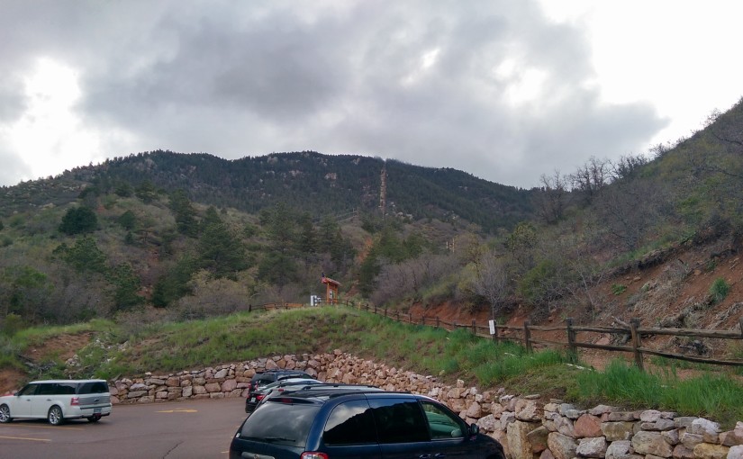
The header picture for this post is what the incline looks like from the parking lot under the trailhead. It’s the vertical line straight up the mountain a little to the right of center. As explained in the wikipedia article linked above, the incline is an old cog railway track that’s stripped down to the railroad ties and lightly maintained to make it a very steep (2000 vertical feet in about a mile) hiking trail used primarily by locals as a way to stay in shape.
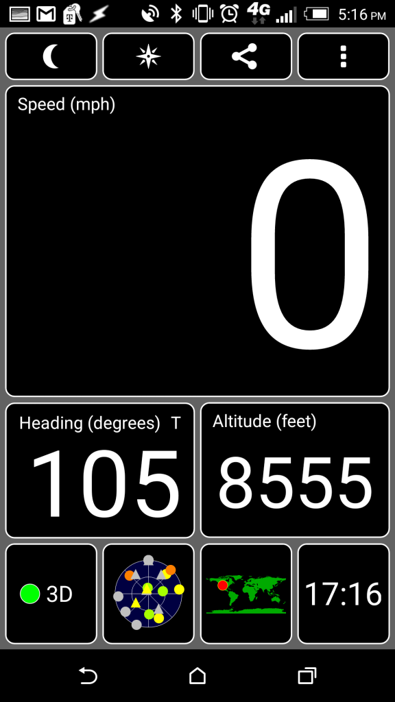
Start time: 4:04 at elevation 6669
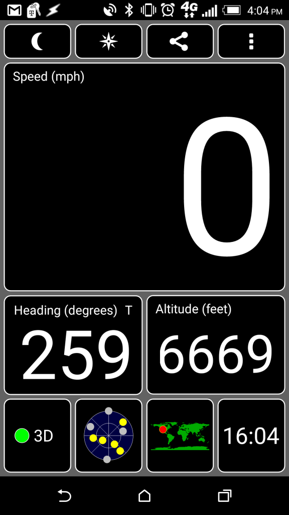
That’s a screenshot of the GPS app I have on my phone to show the timestamp (top right corner) and elevation (box on the lower right side). I was using the app to track my elevation gain as I went because there’s at least one false summit so just looking at how much there appears to be left isn’t a good indication of progress.
Part way up I spotted this critter:
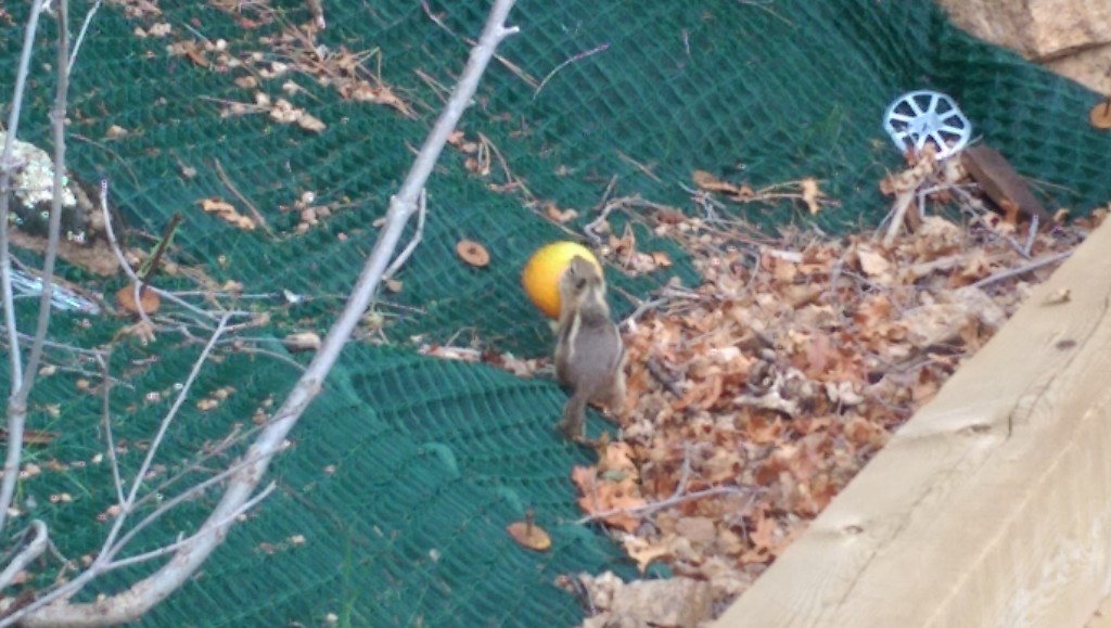
Someone had tossed a mostly emptied orange peel off the side of the trail and that chipmunk was nibbling the remaining fruit out of the peeling. It wasn’t too sure about me standing there watching it, so right before I got this picture it picked it up to haul farther away from the trail. The peeling was apparently light enough to carry but not light enough to carry easily, and when it jumped off a ledge to a lower bush it landed on/in the peeling and took several seconds to extract itself as the peeling started rolling downhill.
72 minutes is faster than the last time I hiked the incline (hiking with my dad, who wasn’t really aclimatized after coming up from sealevel to visit), but supposedly an average hiker should be able to do it in 40-50 minutes. In my defense it took me about half way up to settle into a pace that was sustainable (rather than walking at my normal pace and having to stop often to catch my breath), maybe I’ll do better just from that next time I do it. Alternately, maybe I’ll be in better shape next time and will do better just from that.
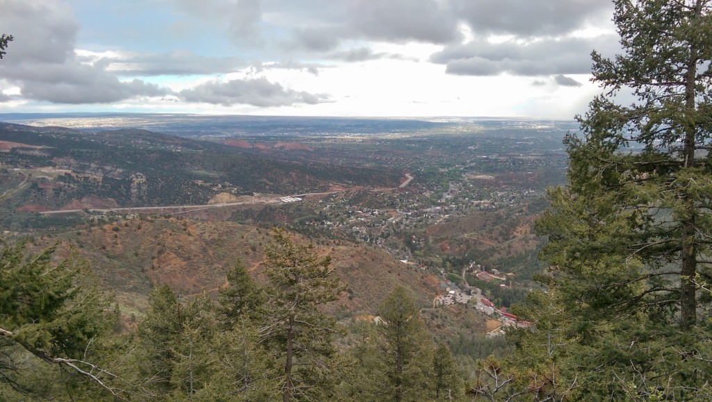
There’s a nice view of Colorado Springs from the top of the incline:
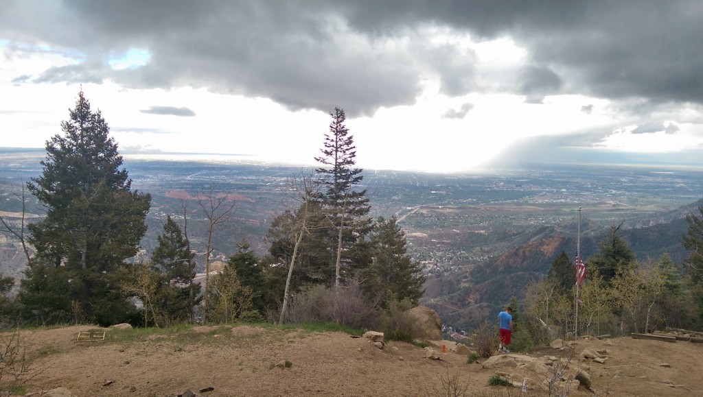
Unfortunately the lighting conditions (overcast where I was, sunny in parts of the city) made it hard to take decent landscape pictures with my phone. To the left of the tree in the center of the picture you can see the high rock ridges of Garden of the Gods.
Here’s the incline from the top. Note how the trail is almost perfectly straight down the mountain:
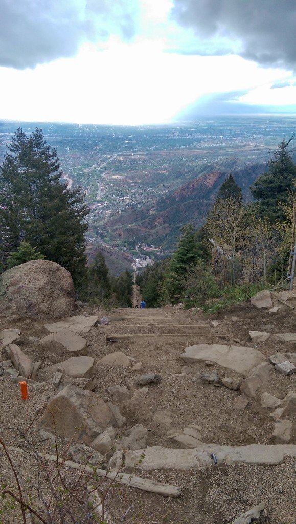
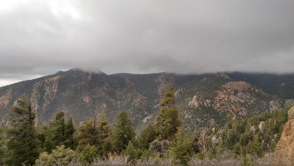
This was the inspiration for not sticking around on the mountain. Well, the low clouds, the fact that those clouds were starting to rain lightly, and also that it was cold enough my hands were going a little numb. I never did break out my rain jacket, but the slowly warming temperatures as I got farther down the mountain were greatly appreciated.
I took the Barr Trail down (it’s not as steep, and especially damp it’s dangerous to go down the incline), so I got back to the trailhead at 6:25. My pebble counted the full trip (from the bus stop to the top back down to the trailhead) at just over 11,000 steps. Of that 11.000 steps only about 3,000 were from the trip up.
Here’s another picture of the Garden of the Gods and Colorado Springs taken from lower on the mountain on the way down:
