A couple weeks ago I was finally caught up on everything and had a Friday off work, so I decided to go backpacking and camp somewhere out in the national forest. I had a few options, but ended up going to the Crags trailhead on the west side of Pike’s Peak and hiking up the trail to Devil’s Playground.
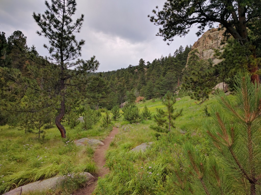
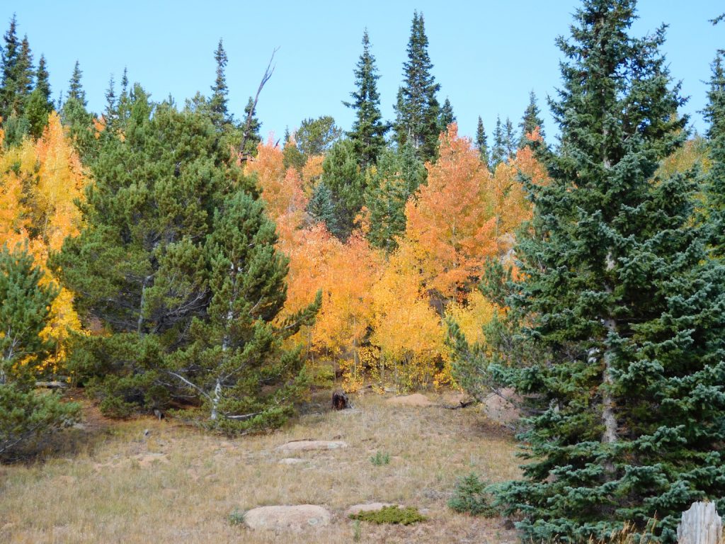
It was definitely a good time for a hike in the mountains:
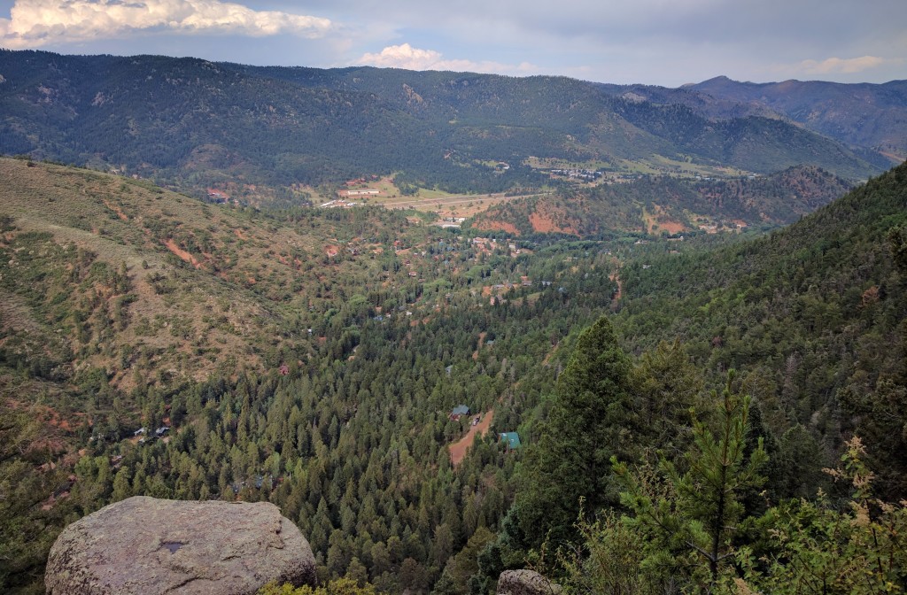
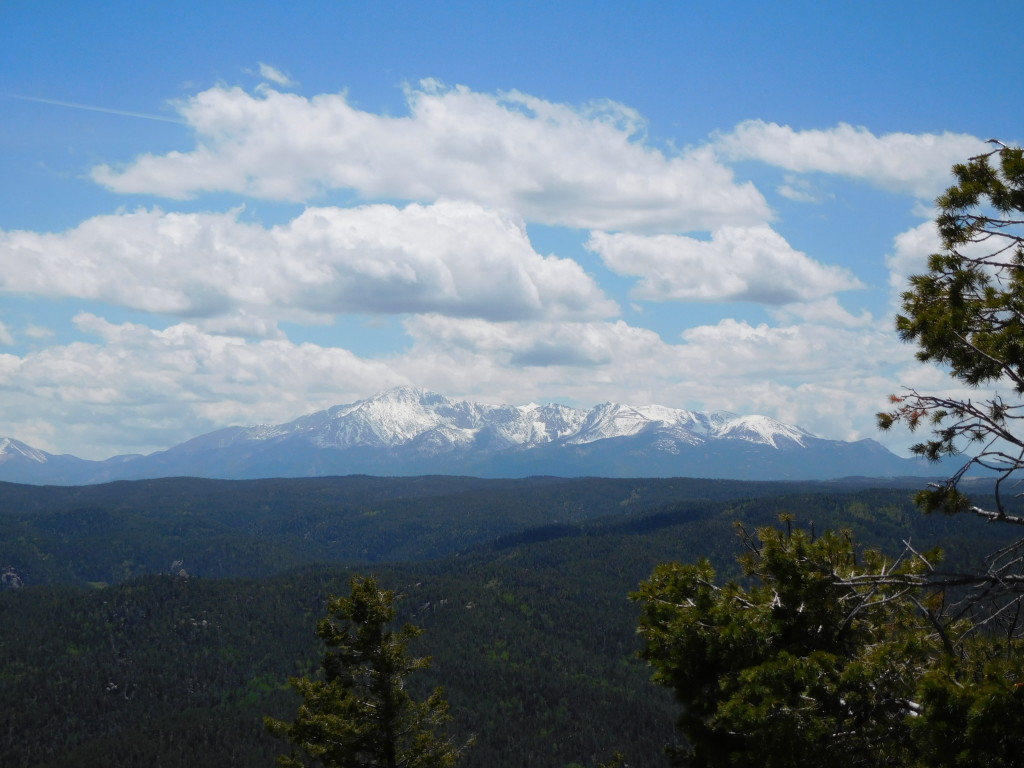
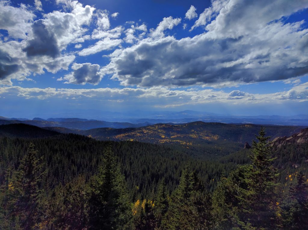
As I neared treeline the view out across the valley just got better:
I camp in a hammock, so I had to stay below treeline. The trail leaves the trees around 11,700 ft elevation (according to my map, I didn’t check it), but there are trees up to a bit above 11,800 ft off trail to the north. I ended up hanging my hammock at 11,838 ft according to the GPS app on my phone.
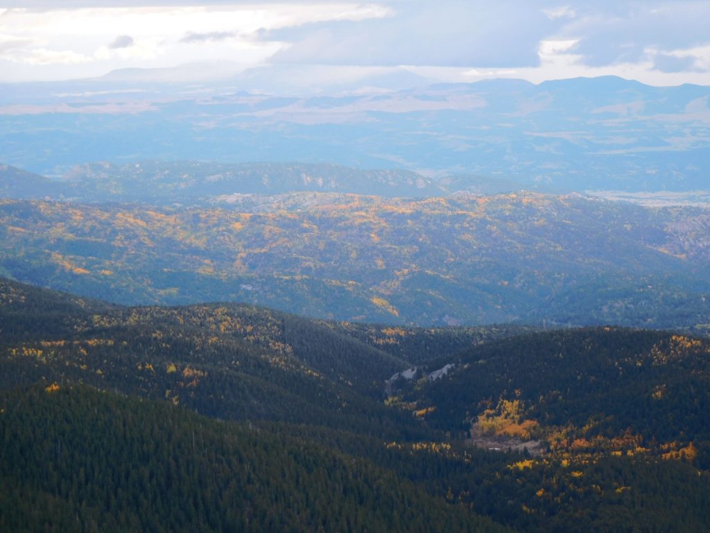
Once I had camp set up, I scrambled up the rocks to get to a nearby ridge. Naturally, there were more views of the aspens, even if the light was fading as clouds rolled in:
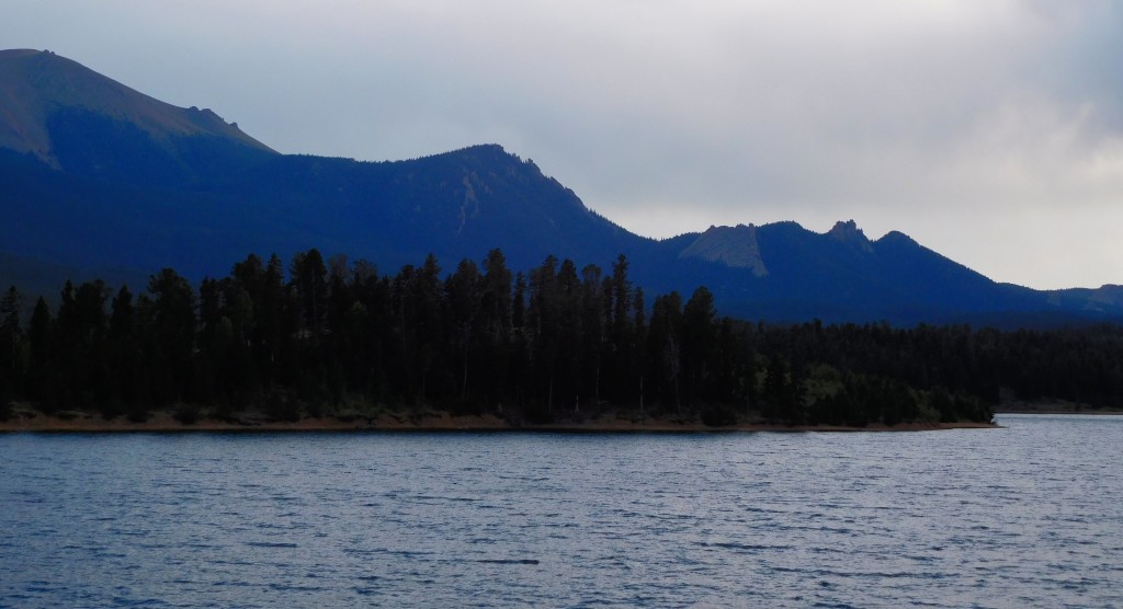
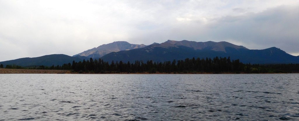
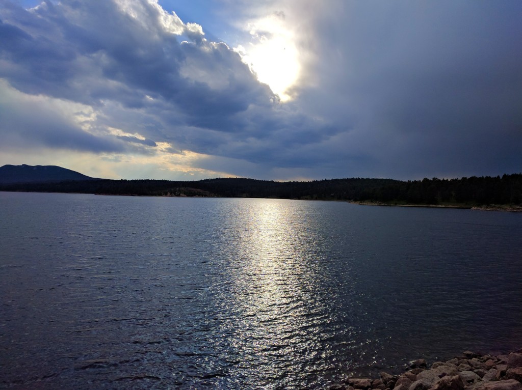
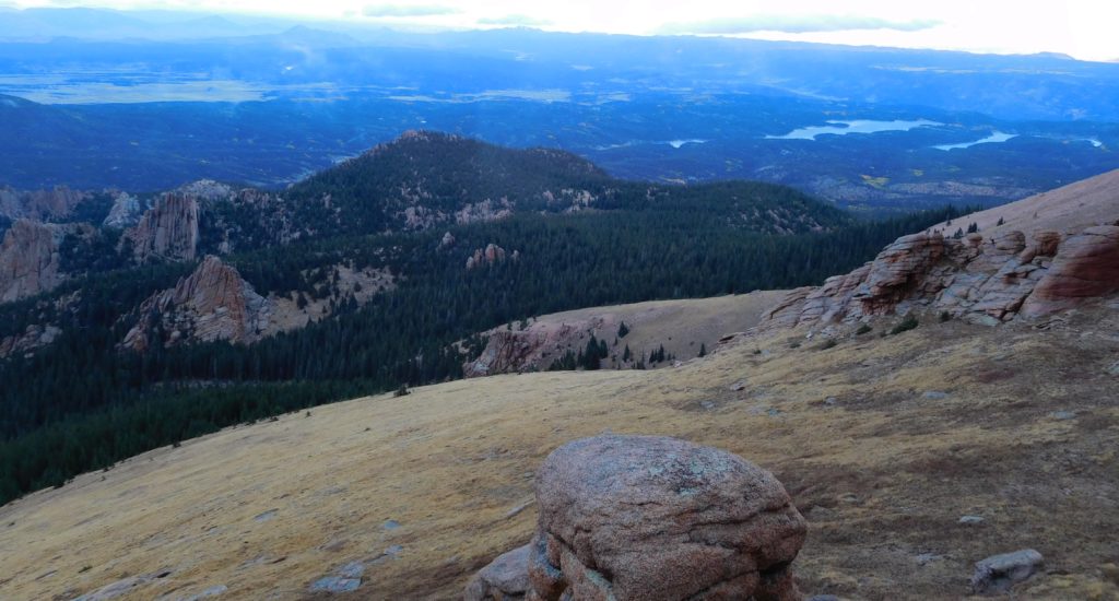
Here’s a shot of the catamount reservoirs to the right and the crags to the left:
Unfortunately, due to the elevation I was at the clouds rolled right in on top of me:
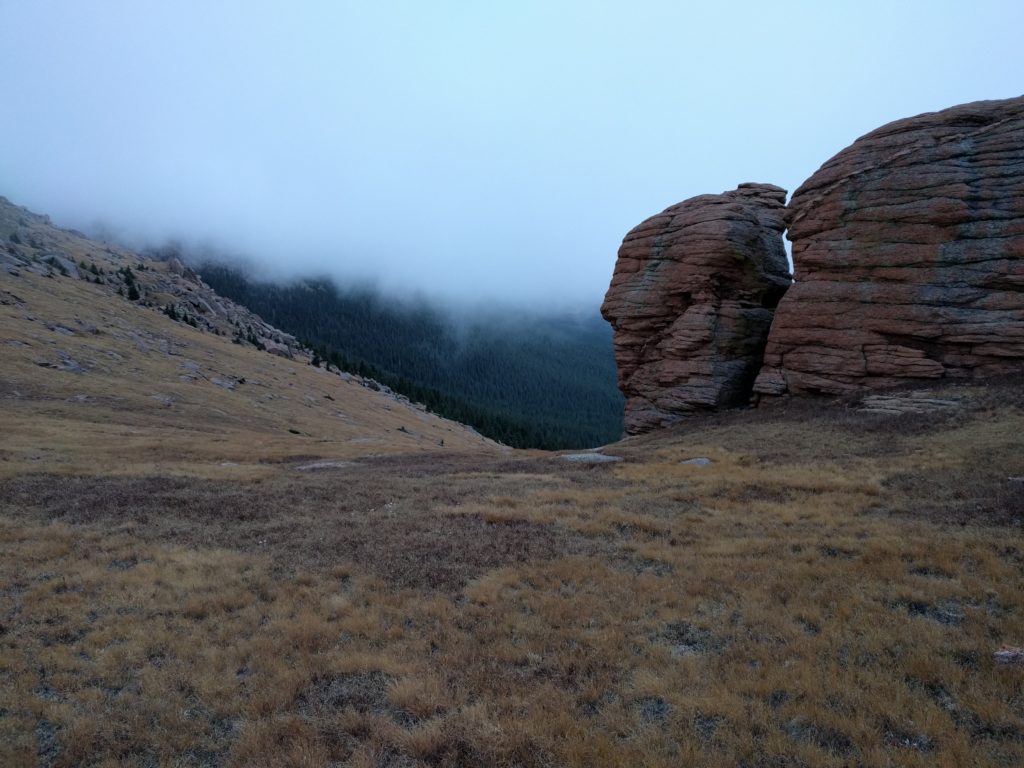
The temperature dropped noticeably as that cloud enveloped me, which really made me wish I’d remembered to grab my gloves. I had scouted out a nice flat rock to cook supper on while I watched the sun set, but since I couldn’t actually see the sun setting I found a rather more protected spot to eat. By the time I’d finished eating it was getting dark, my hands were freezing, and I still hadn’t hung the bear bag. Fortunately there weren’t any hungry critters daft enough to be out in the cold: the bag was at most 2 feet off the ground since I just walked the cord around a couple trees not too far from camp and hoped for the best. A motivated raccoon or ground squirrel probably could have gotten into it without much effort, never mind a bear.
By the time I had everything stowed and got back to my hammock it was snowing:
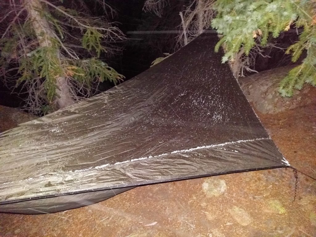
The snow was really just a light dusting, though it did last through the night and well into Saturday. It was a reasonably windy night, but I was surrounded by enough trees that it was rare that I actually felt a gust. My undercover and sleeping bag were sufficiently warm that I was nice and toasty all night long, though I didn’t get a great nights sleep (partly because I went to sleep at 9:00 pm and woke up in the middle of the night like I’d just been napping).
The low was probably in the high 20s (there was still snow on the ground in the morning, but the water bottle I’d left out wasn’t frozen solid), which is apparently cold enough to affect propane: propane bottles are supposed to make a sloshing sound when you shake them; mine was more of a swish. I couldn’t get my stove to light until I’d warmed the bottle of propane up a bit. I managed to get enough water out to (eventually) cook oatmeal for breakfast, but rinsing out the cup clearly wasn’t going to happen (the water froze to the inside of the cup as I swished it around).
Pike’s Peak sure does have a big shadow at 7:00 am:
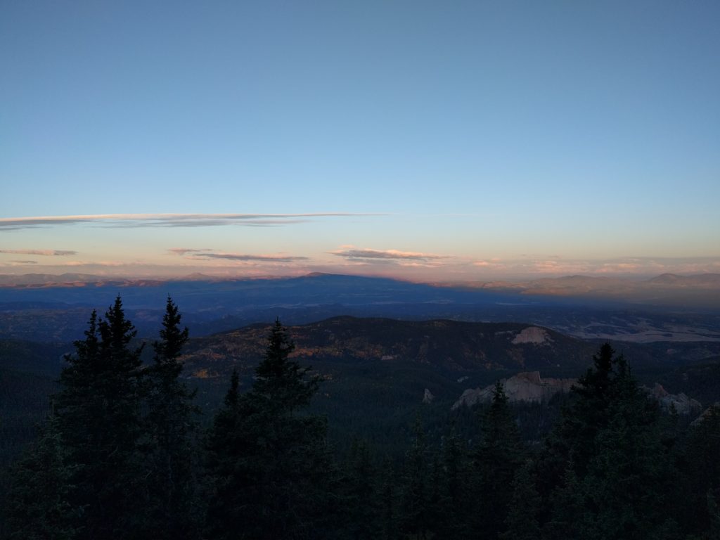
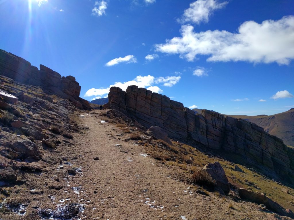
When I struck camp and started hiking my toes were not quite numb but painful, so I figured I’d just get to the top of the ridge, get some morning pictures from over 12,000 ft, then head back down. After probably half a mile of hauling my pack up the mountain my toes were doing fine, but my hands were cold. I eventually crested the ridge and started walking through Devil’s Playground, so named because of how lighting jumps between the rocks during thunderstorms (which I thankfully didn’t witness):
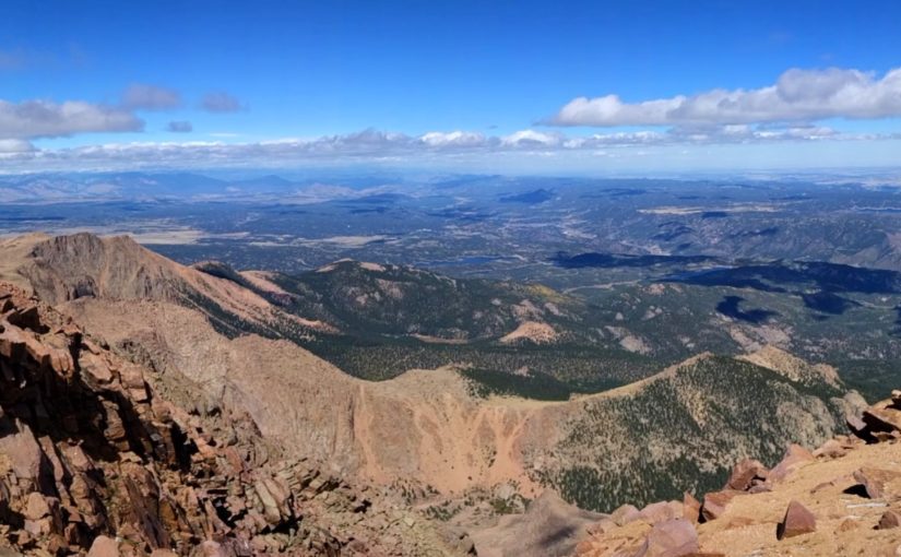
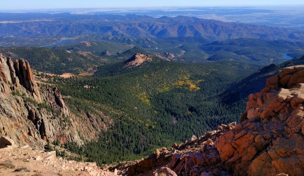
Once I’d made it through Devil’s Playground I got to thinking about it and realized I’d already covered around half the distance and over half the elevation gain, so I might as well push on to the peak. The wind was pretty brutal (and I still didn’t have gloves), but surely it wouldn’t be all that bad. I got a good view of Crystal Reservoir and the south side of the end of Rampart Range:
Then, disaster:
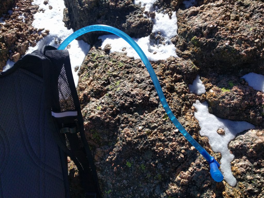
The lines across the hose are where the ice that’s filling the hose cracked as I extracted it from my pack. Once the hose had frozen (it was run across the top of my pack) it took me probably a quarter mile to find a spot that was sheltered at all, then I took off my rainjacket/shell, put the camelback on, then put the shell back on. By the time I got my pack on my hands didn’t even have the dexterity to manage the clip easily. It then took probably over half a mile of hiking before the hose had thawed enough for me to get a drink.
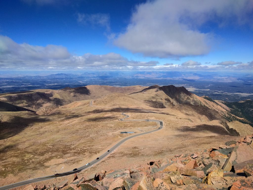
The top half of the trail somewhat parallels the road. On the one hand it’s kind of frustrating to have cars driving by and have so many people on top, but on the other hand, there aren’t any other 14ers that have gift shops serving hot beverages on top.
After spending an hour sitting inside the summit house and eating a donut (they were out of hot chocolate…) I was feeling much better. This is me finally not feeling absolutely miserable:
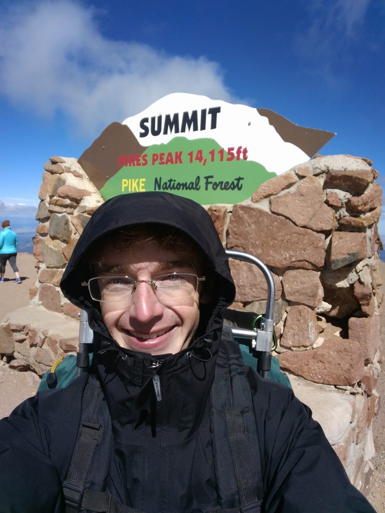
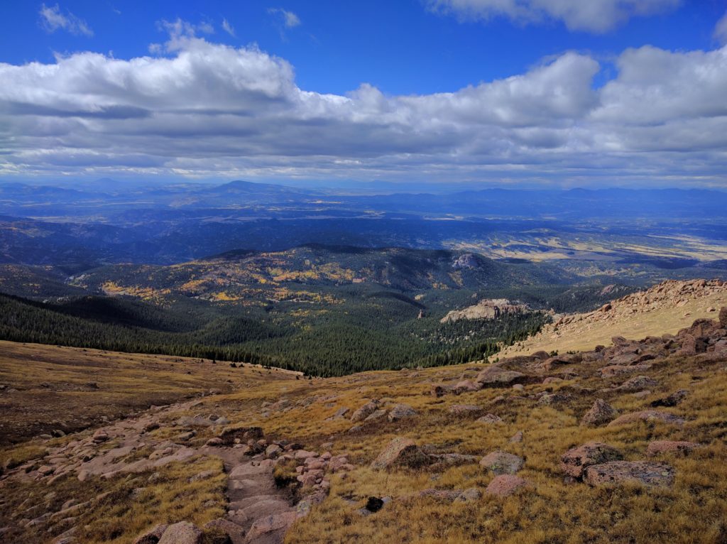
By the time I started back down the wind had tapered off somewhat and it was warming up (enough so that the snow was mostly melted). It wasn’t nearly as miserable as the hike up, but it was still a long hike (especially because I was carrying my backpack the entire way). After nearly two hours I reached the top of the slope I’d camped on and finally got a well lit picture of the valley:
By the time I got back to my car the afternoon storm clouds were rolling in. It was certainly a longer hike than I’d planned on, but if I hadn’t been hauling my fully-loaded backpack (~25 pounds) around it would have been much faster. I don’t plan on backpacking that route again, but given proper equipment (gloves, a scarf) it shouldn’t be too bad a day hike.
