I don’t have a whole lot to write about it, but here are my pictures from the hike up Mt Elbert that my dad and I did last Sunday.
Mt Elbert is the tallest mountain in Colorado and the second tallest in the contiguous United States. It’s also one of the easier hikes according to 14ers.com. That doesn’t mean it’s exactly easy: no 14er really is (unless you count driving to the top of Pike’s Peak).
Where we went wrong is that my dad didn’t have time available to come spend a week at altitude: the best we could come up with was that he’d drive up Friday evening, we’d spend Friday night through Sunday morning in Leadville (10,000 ft), then do the hike on Sunday. That’s not at all enough time to properly acclimatize, but fortunately the weather report for Sunday predicted no storms so we could take all day if we needed to.
Good thing, because we needed to.
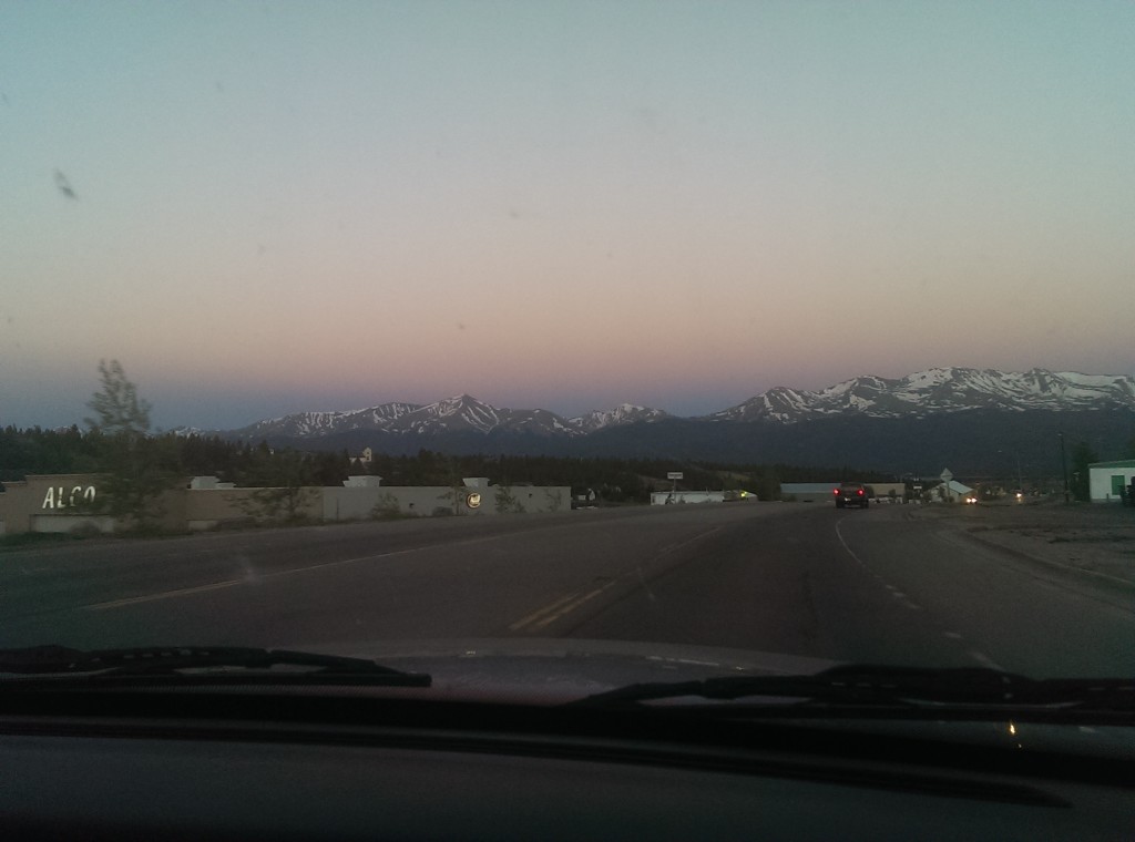
We left Leadville around 5:30 with the goal of making it to the trailhead by 6:00. This was the view from the road as we left Leadville, Mt Elbert is the pointy one to the left:
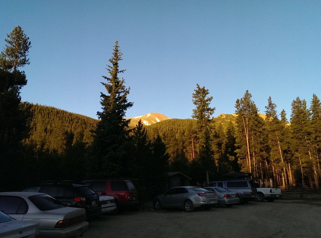
We made it to the trailhead about sunrise (6:00 am), which was good because the parking lot was already filling up:
Getting to tree line took about two and a half hours. Dad set the pace for the entire hike, so this part was somewhat slow on the uphill but at least it wasn’t all that steep. We even had our own private cloud of mosquitoes because in the trees there wasn’t any wind and we certainly weren’t moving fast enough to leave them behind.
Once we left the trees the wind picked up so we finally escaped the mosquitoes, but that also meant I had to tighten the cord on my hat so it wouldn’t blow away when it caught the wind.
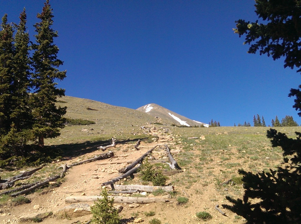
I took this one shortly after we left the tree line when Dad remembered he hadn’t taken his advil at the tree line like he’d been promising himself. You can see Leadville in the distance to the left of the picture.
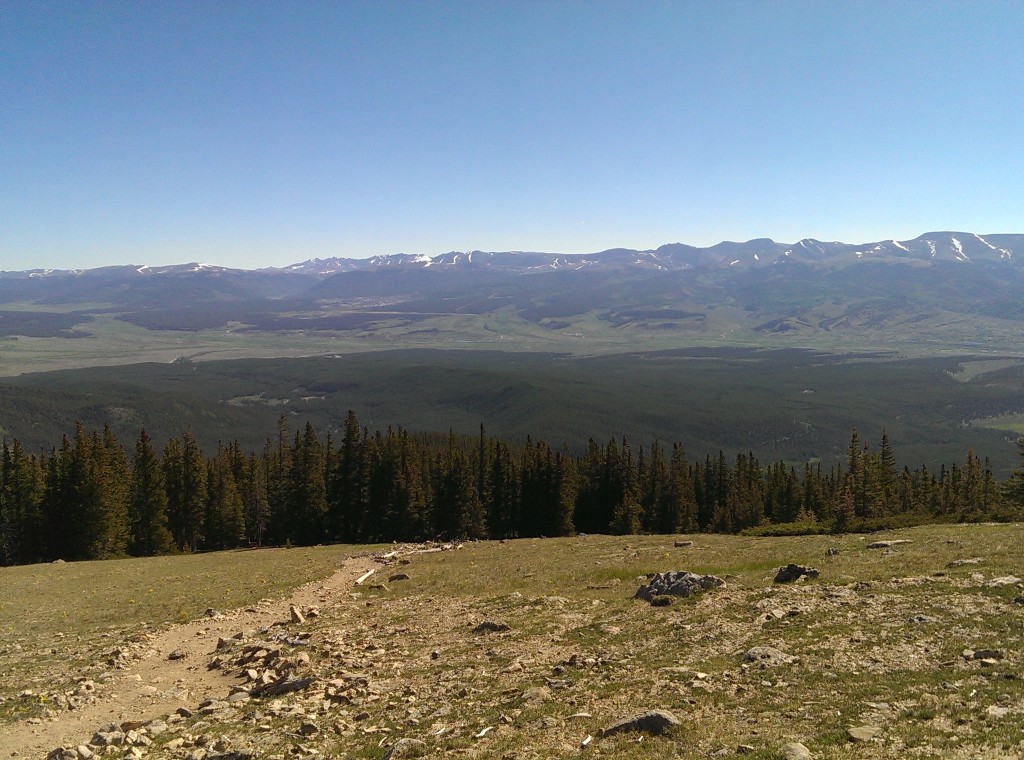
This wasn’t the first panorama I took, but it was one of the first decent ones. If you look closely you can see where the trail came out of the trees. It doesn’t seem all that far away but there were a number of switchbacks and the altitude change was significant. This was nearly three hours after we got out of the trees and maybe 1,000 ft up from there (probably less).

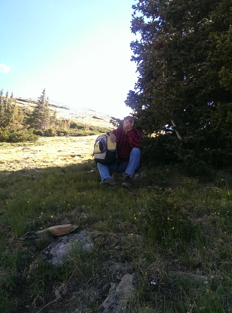
Poor Dad: too tired and out of breath to climb on the rock to sit down.
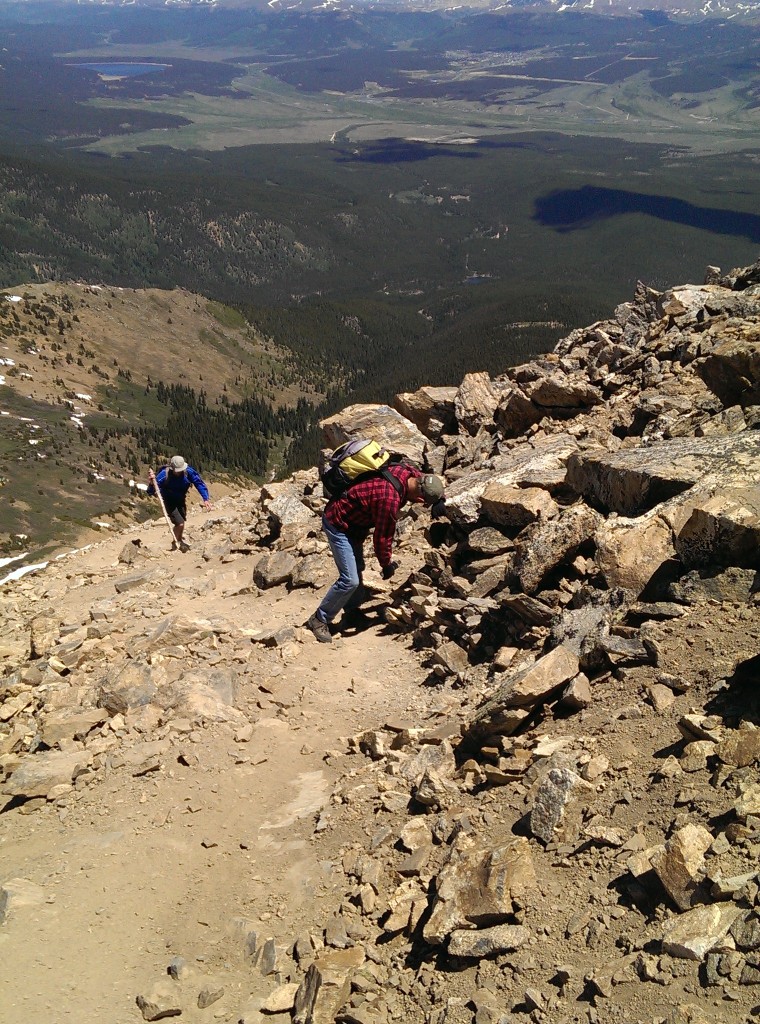
Here’s a view of Mt Massive to the north. Dad complained a few times that it was demoralizing looking up at the next mountain over, seeing how much higher it goes, then remembering that the mountain we were climbing was the taller of the two. This was about an hour and a half from the top.
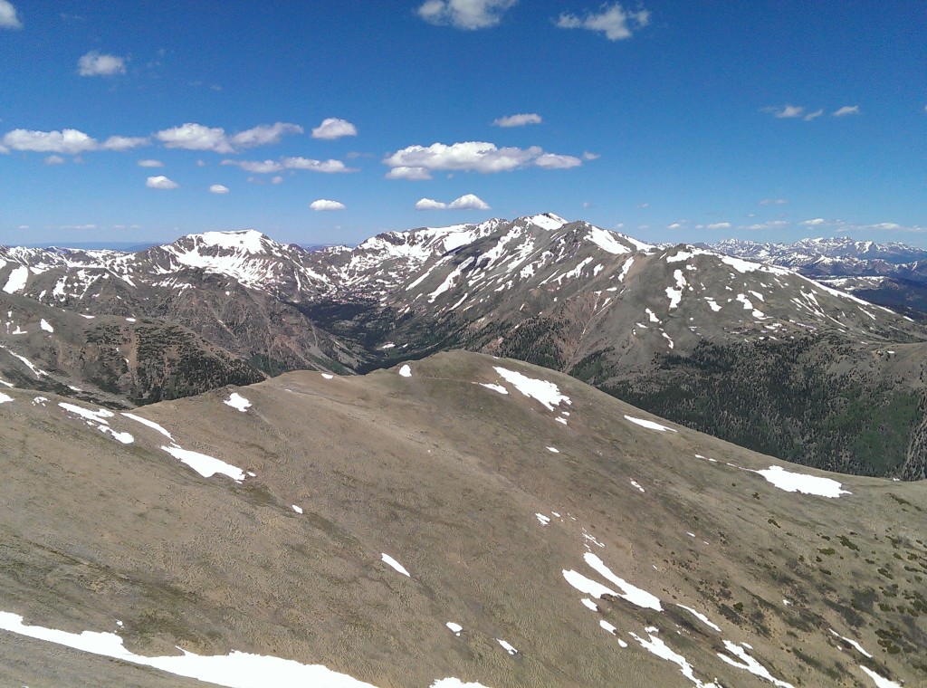
Here’s the view from the top of Colorado:

I thought this was the neatest individual part of the view: looking down and seeing a whole valley laid out beneath me. The picture doesn’t really do it justice, but you can still see the road winding through and a stream of snowmelt, all beneath a horizon full of snow-covered mountains.
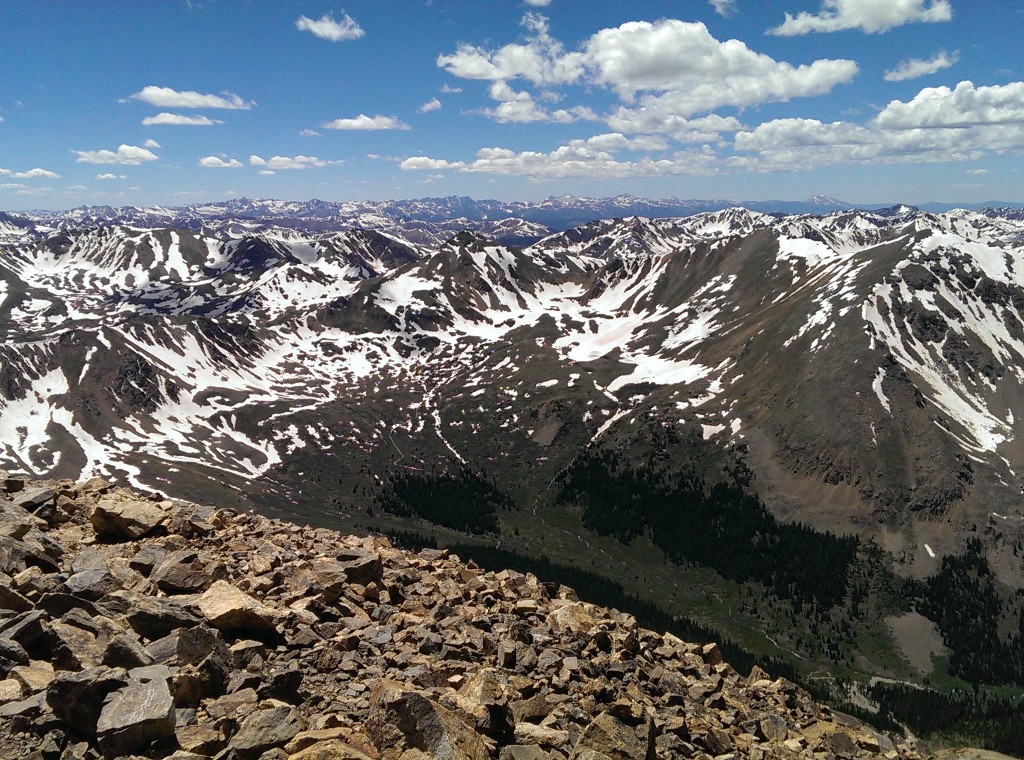
It took us about eight hours to get to the top: we started at 6:00 am and finally reached the summit around 2:00 pm. The suggestions I’d gotten from a friend of mine (who’s in excellent shape and does more extreme hiking/climbing than I’m inclined to try) included: get to the top by 11:00 am and try to be back below tree line by noon (because being above tree line when an afternoon thunderstorm comes in isn’t a good experience). He had also said that 1 mph was a comfortable pace, which it might have been for me on all but the steepest part (but I live at 7,000 ft and Dad had been up from sea level for all of 36 hours).
Entertainingly, the cell service at the top was excellent. The group just arriving in my panorama spent some time making video calls to people they knew so they could show people the mountain view.
We spent about 45 minutes on the top eating all our snacks, resting, and taking pictures, then started back down.
The view about 30 minutes down from the top:
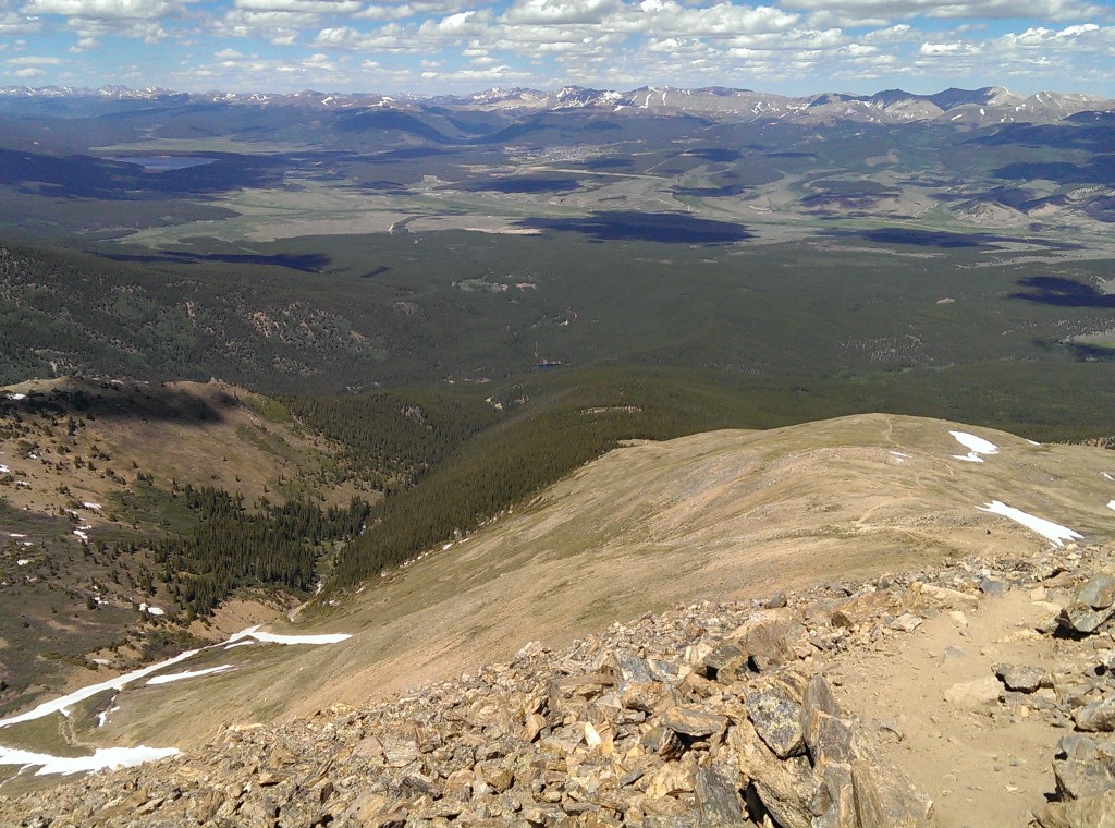
This would have been shortly before we spotted the first of the two marmots we saw. They weren’t nearly as friendly as the bird that followed us in the trees for a while, but I only have my cell phone for a camera and it doesn’t zoom well enough to be worth posting the results. Dad might not have gotten any pictures of them: I think he’d run out of memory on his camera by then.
We finally made it back down to the trees at about 5:00 pm. Cell service was getting a bit spotty as we got lower on the mountain so this was where I tried to call ahead to make sure our ride hadn’t given up on us but couldn’t get the call to go through.
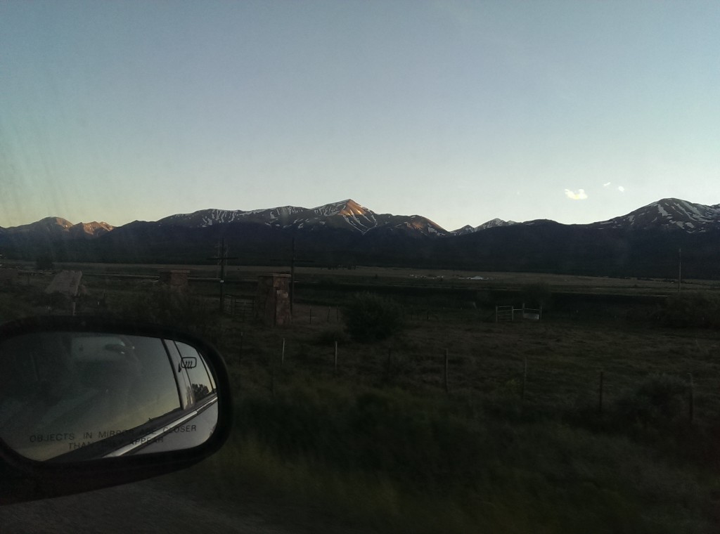
We made it to the trailhead before the sun went down. Here’s the view from the highway as we started back to Colorado Springs:
We didn’t take a quick swim in the stream to cool off at the bottom. For that matter, we carefully avoided getting wet when we had to cross it because snowmelt is cold. Once we got back to the trailhead and were all ready to leave we discovered that Mamaw’s car wouldn’t start because she’d left the GPS plugged in and on all day and it had drained her battery. Thankfully one of the people we’d met a couple times on the trail was still sitting in the parking lot waiting for his parents to make it down (they were two of three people we know we did the hike faster than) and he jumped it so we could leave.
Final timeline:
6:09 am – left the trailhead
8:50 am – reached tree line, took a short break
1:50 pm – reached the summit
2:38 pm – left the summit
4:50 pm – reached tree line, took a 15 min break
7:30 pm – got back to the trailhead
The altitude and climb (at least at the pace we went at) didn’t bother me at all, but I was still in miserable condition at the end of the day because we hadn’t eaten a great breakfast and I hadn’t packed enough food to spend all day on the mountain: we’d planned for getting down in time for a late lunch.
Things I’ll remember to take next time: gloves, handkerchief/kleenex, sunglasses, food, sunscreen, and maybe bug repellent