Pike’s Peak

This last Monday (Labor Day) I hiked Pike’s Peak with a couple of my coworkers.

Trip Report

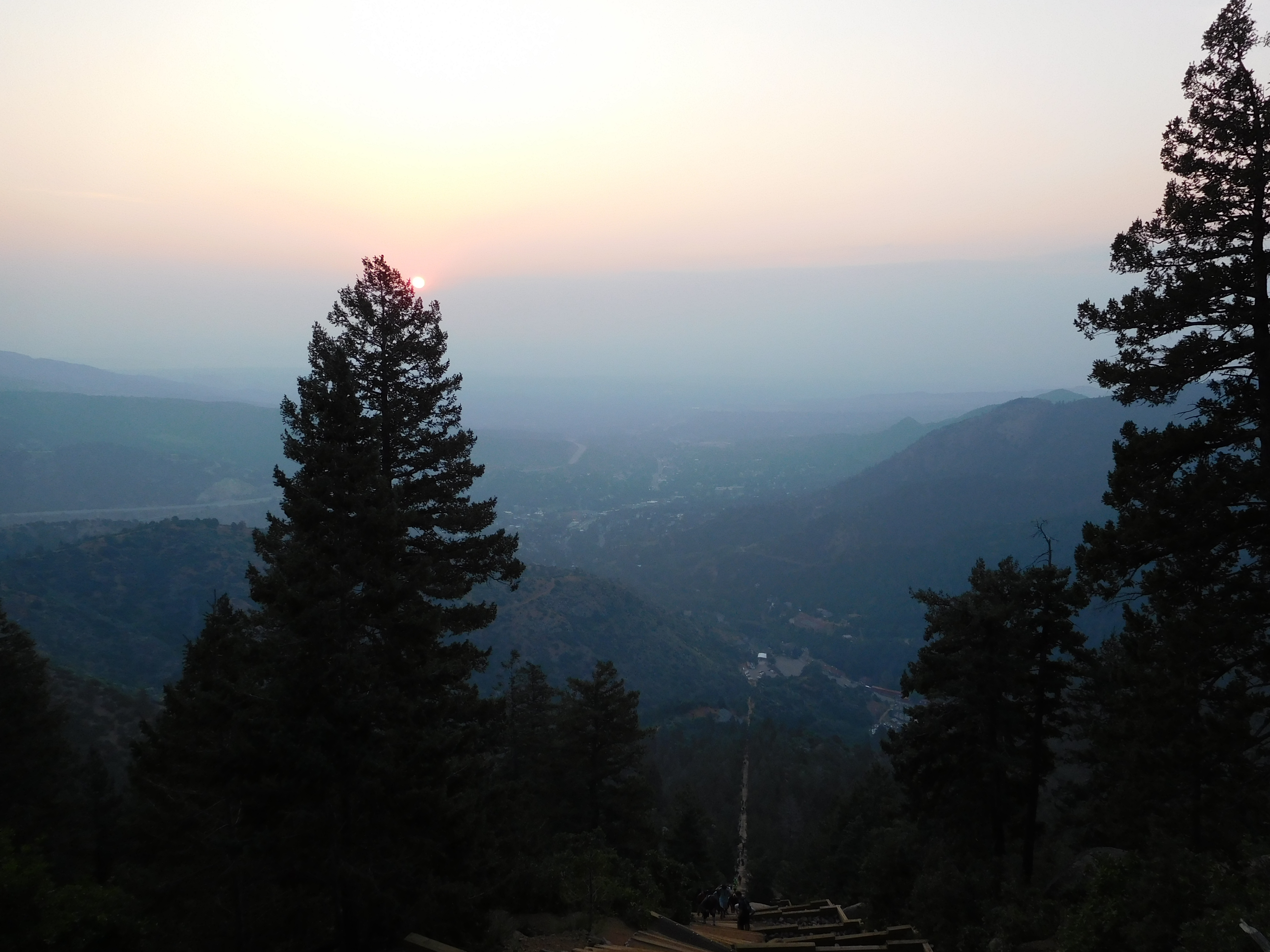
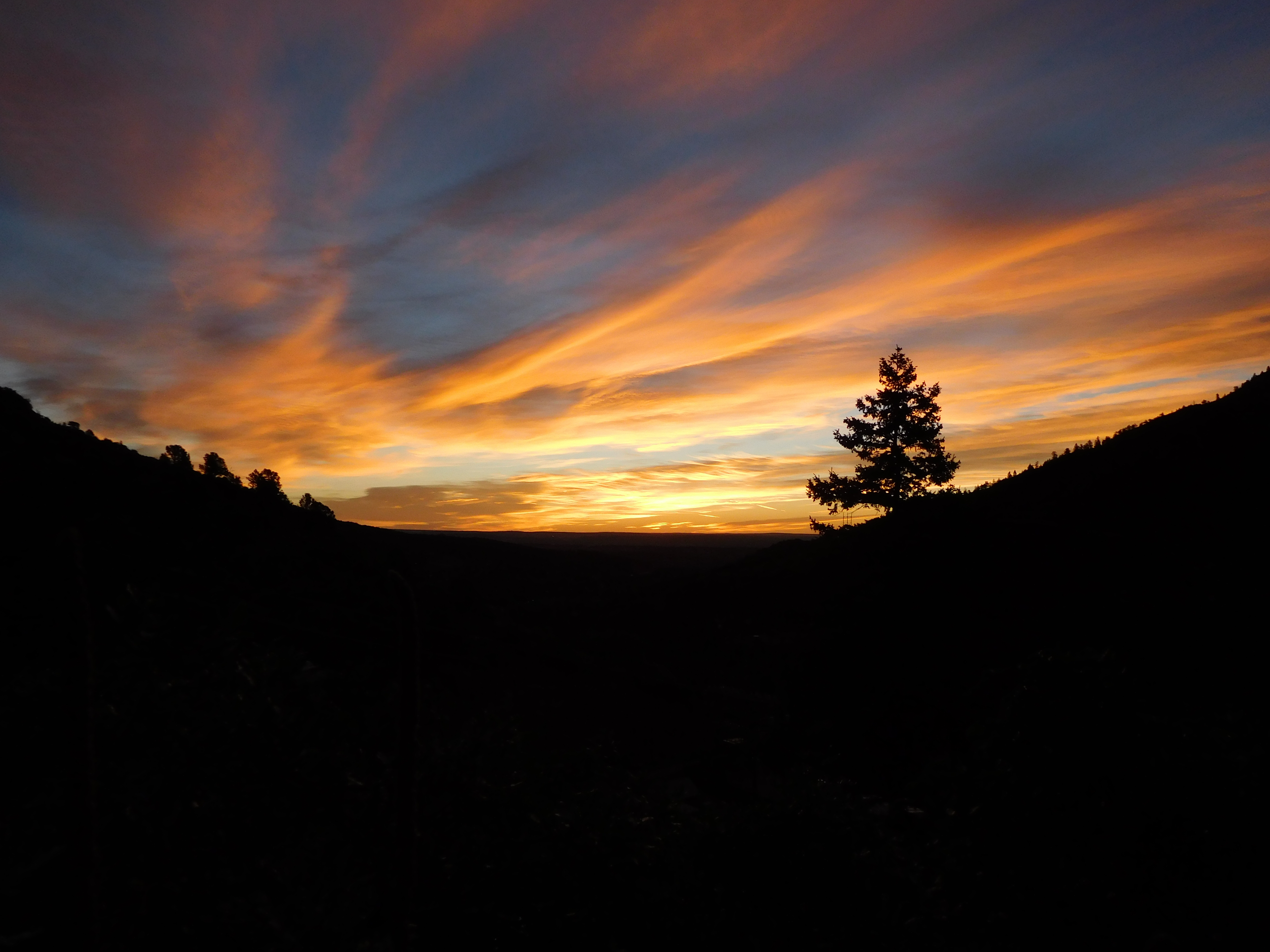
We met at the incline shuttle parking a little before 6:00 AM (when the shuttle is supposed to start, but it was about ten minutes late). The alternative was trying to find parking up Ruxton Avenue, but it was a holiday weekend and we expected the mountain to be crowded. It wasn’t that bad on Barr Trail, but there wasn’t any parking by the time the shuttle dropped us off. We hit the trail at about 6:20 just before the sun came up:
Sunrise

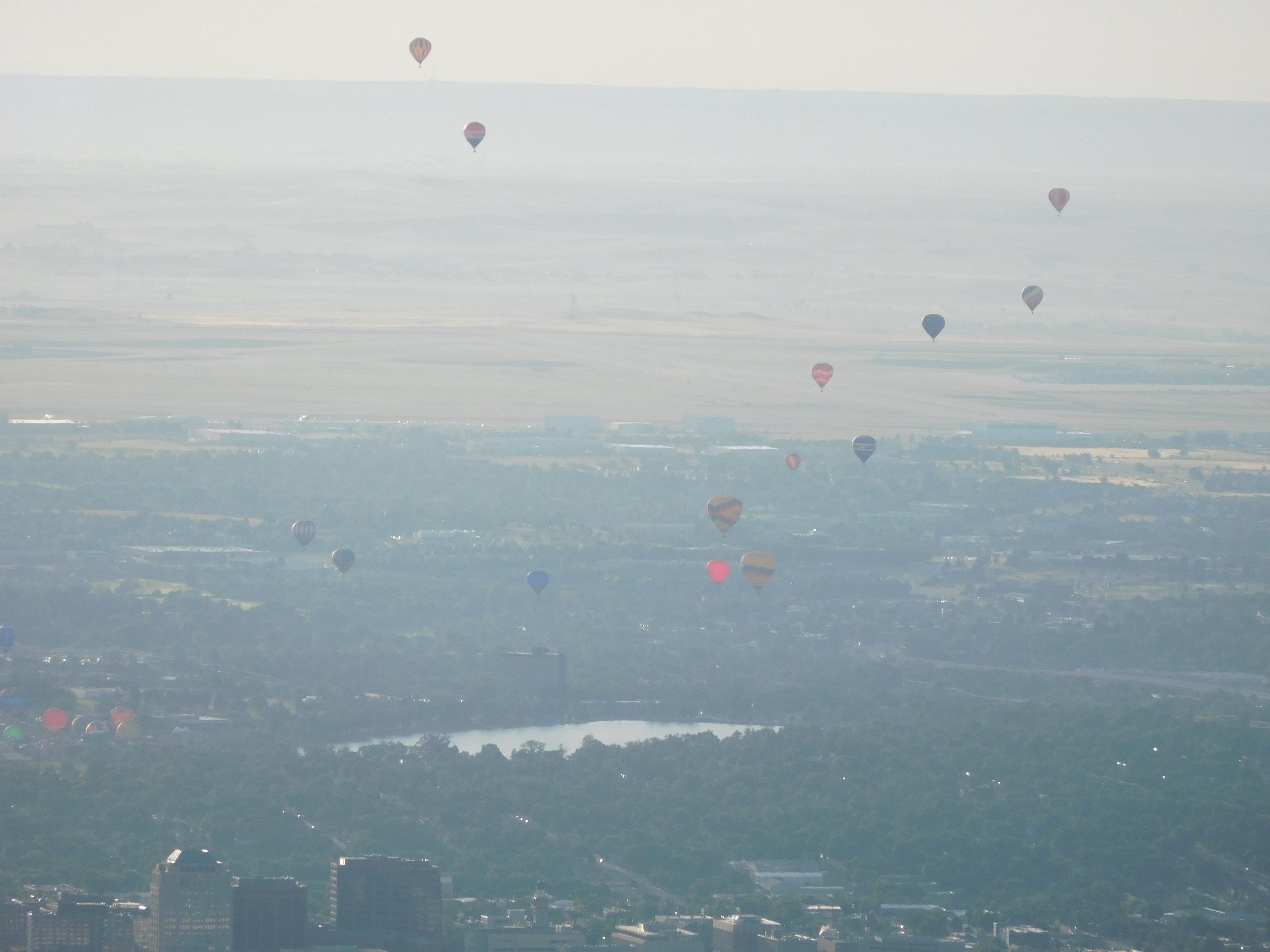
Also, Labor Day is when the hot air balloon festival is, so we had a distant view of the balloons as we ascended the first part of the trail:
Distant Balloons

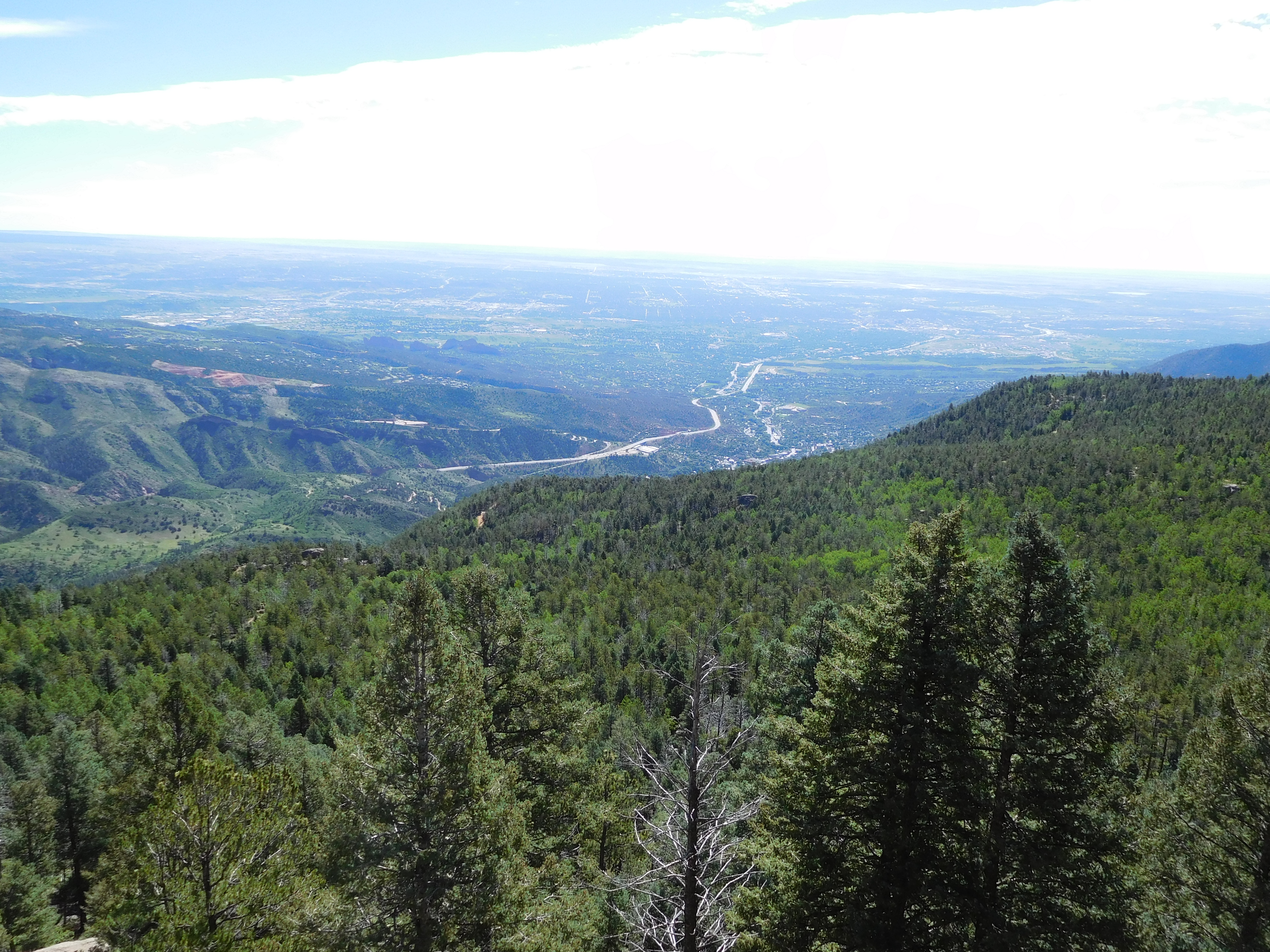
Barr Trail is about 13 miles total distance and a bit under 8000 ft of elevation gain. The first half ascends steeply for about 3.5 miles then somewhat levels off, rising again just before Barr Camp (at ~6.5 miles, 10,000 ft elevation). Besides the sunrise and balloons we saw a deer (I didn’t get a picture), but it was otherwise an uneventful couple of hours of hiking. We paused briefly at Barr Camp (which was well populated) to eat a snack and dig out warmer clothes before continuing on up to A-Frame:
A-Frame

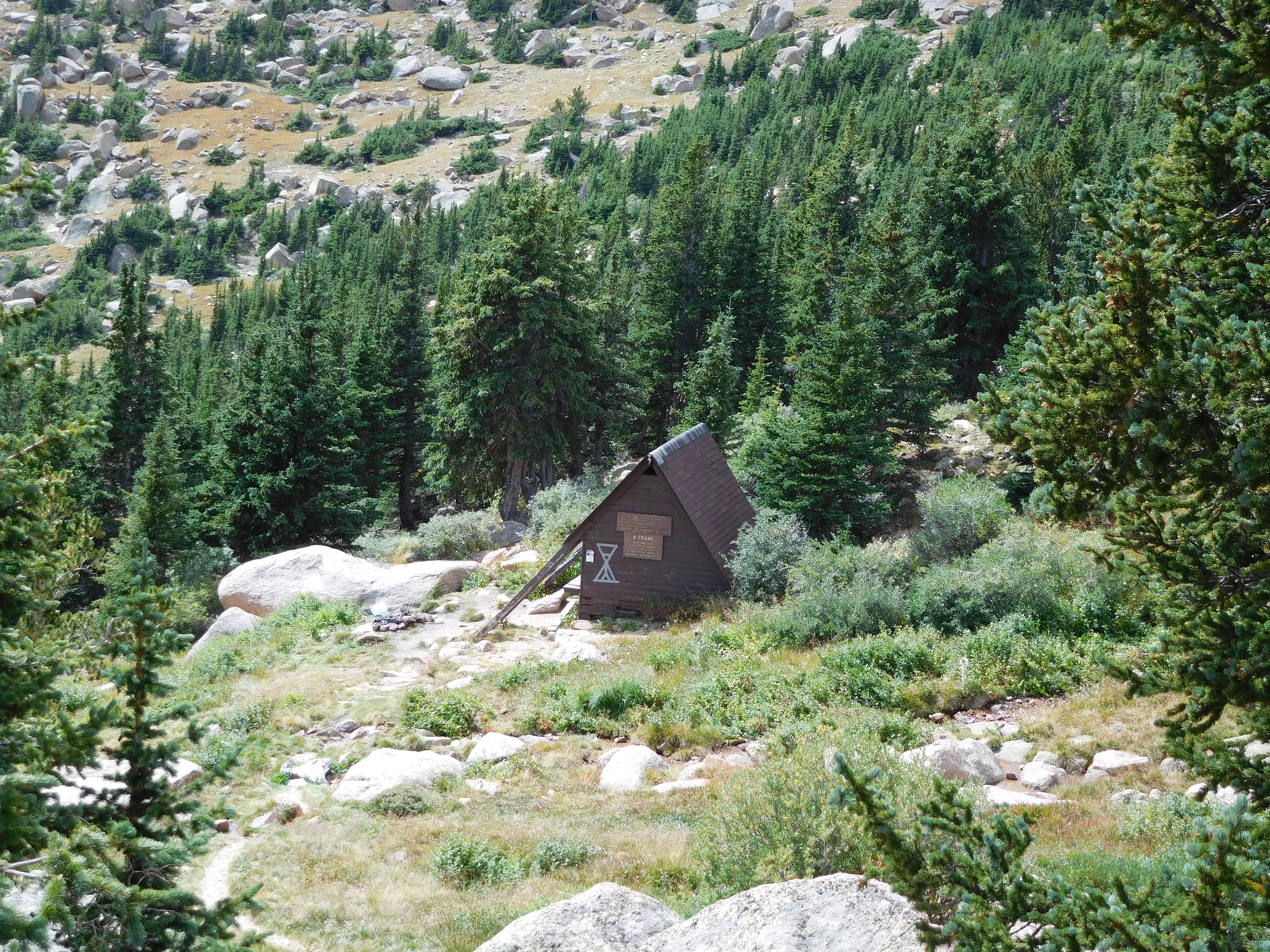
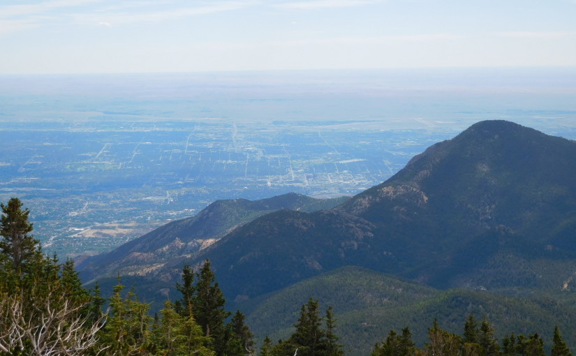
A-Frame is an open structure just below timberline. It’s about 9 miles up the trail and near 12,000 ft elevation. We reached it at 11:00 AM, about 4.5 hours into our hike, and took the opportunity for another snack break.

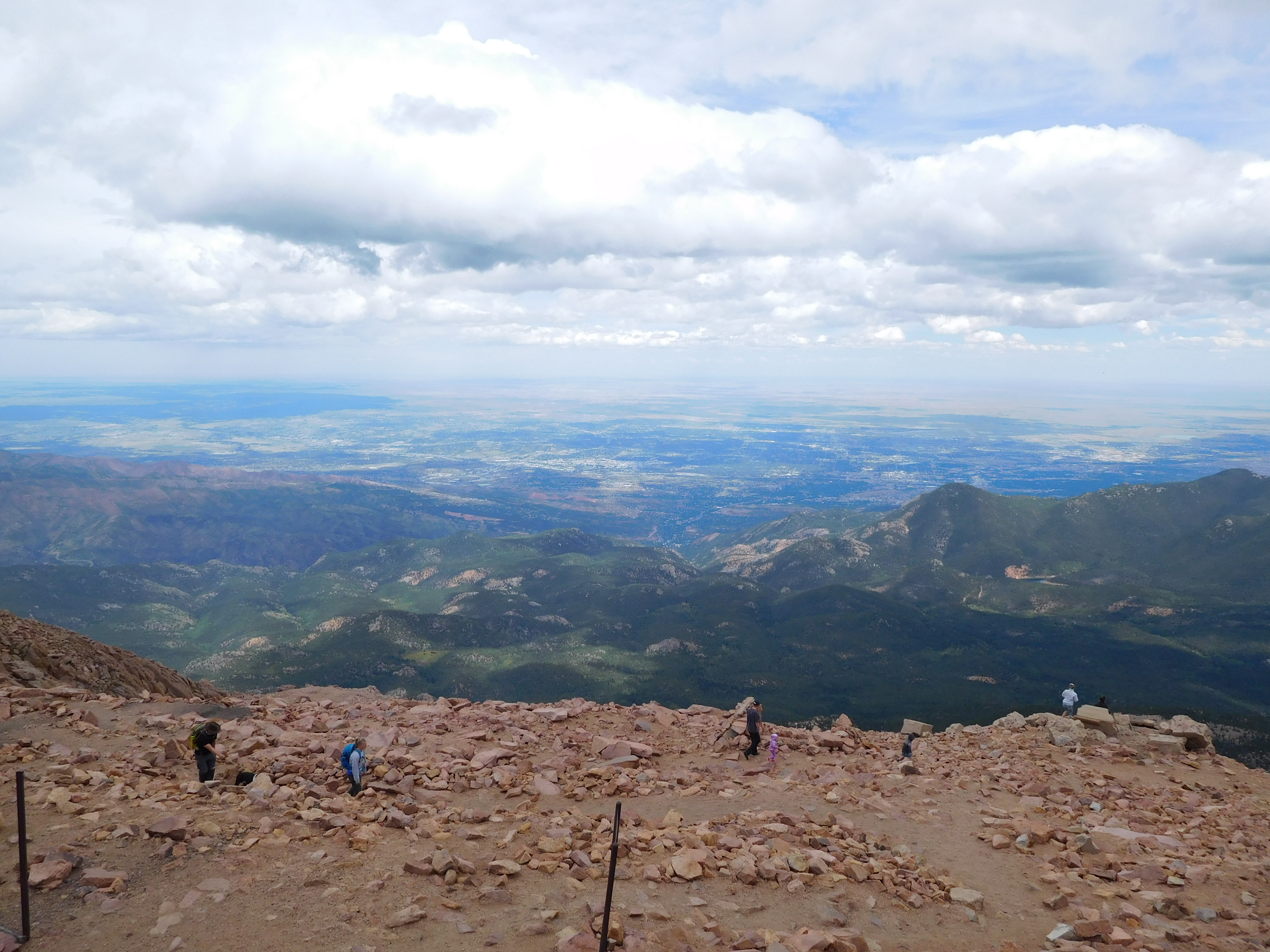
The last 3 miles took the longest: another 3 hours, putting us at the top at just before 2:00 PM for a total ascent time of 8.5 hours.
View from the Top

The top of Pike’s Peak is a somewhat unique experience among 14ers: there’s a gift shop and you can buy donuts. We pretty quickly got inside out of the cold, ate a couple donuts, used the facilities, and discussed getting back down. I was the only one inclined to hike back down: my coworkers hitchhiked thanks to the fact that there’s a road that goes up to the summit house (there’s also the cog railway, but you have to buy a ticket for that).

I was feeling pretty good when I started back down: my only concern was getting below timberline before the forecast rain (and potential lightning). I started down at about 2:30 PM, jogged a bit when the trail was open and smooth, and made timberline at about 3:30 PM. I was still doing well there, though I was getting lower on water than I wanted (I started with 3.5 liters, only had a liter left at this point). Unfortunately, jogging down large stretches of the three miles from there to Barr Camp wearing hiking boots left the bottom of my feet hurting and tired me out. I finally got back to the trailhead at about 6:45 PM, having spent about 12.5 hours on the mountain.

Fitbit Stats

I had my fitbit on for the hike. I racked up a bit over 56,000 steps for the day (it registered that as 27 miles, though I never calibrated my stride length) and 811 floors worth of altitude gain. That got me all the daily floors badges (the highest one is 700 floors for the “Rainbow” badge but there are apparently daily step badges for 60,000 steps and maybe more. I at least got the “Platform Shoe” badge for 55,000 steps in a day.
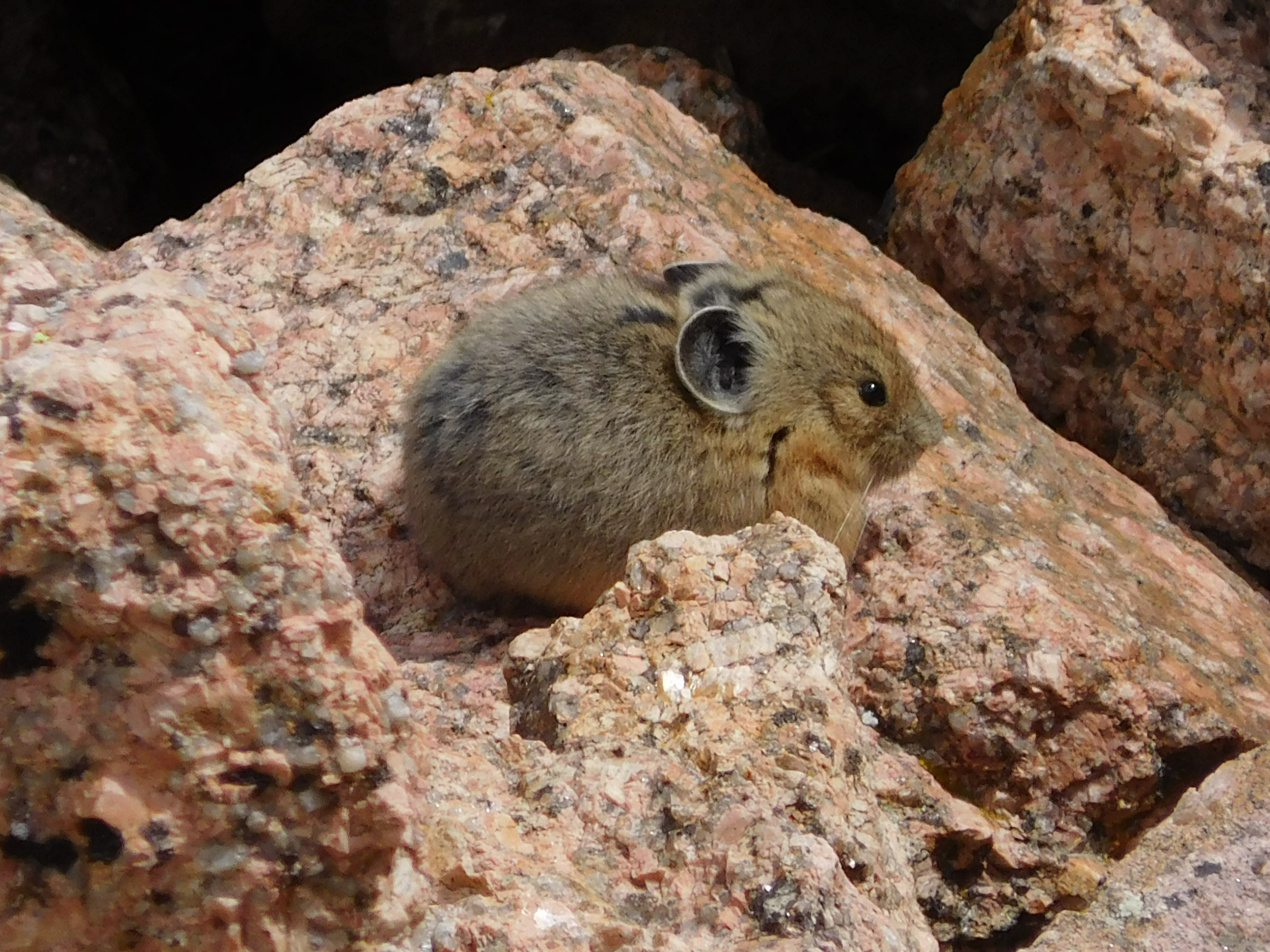
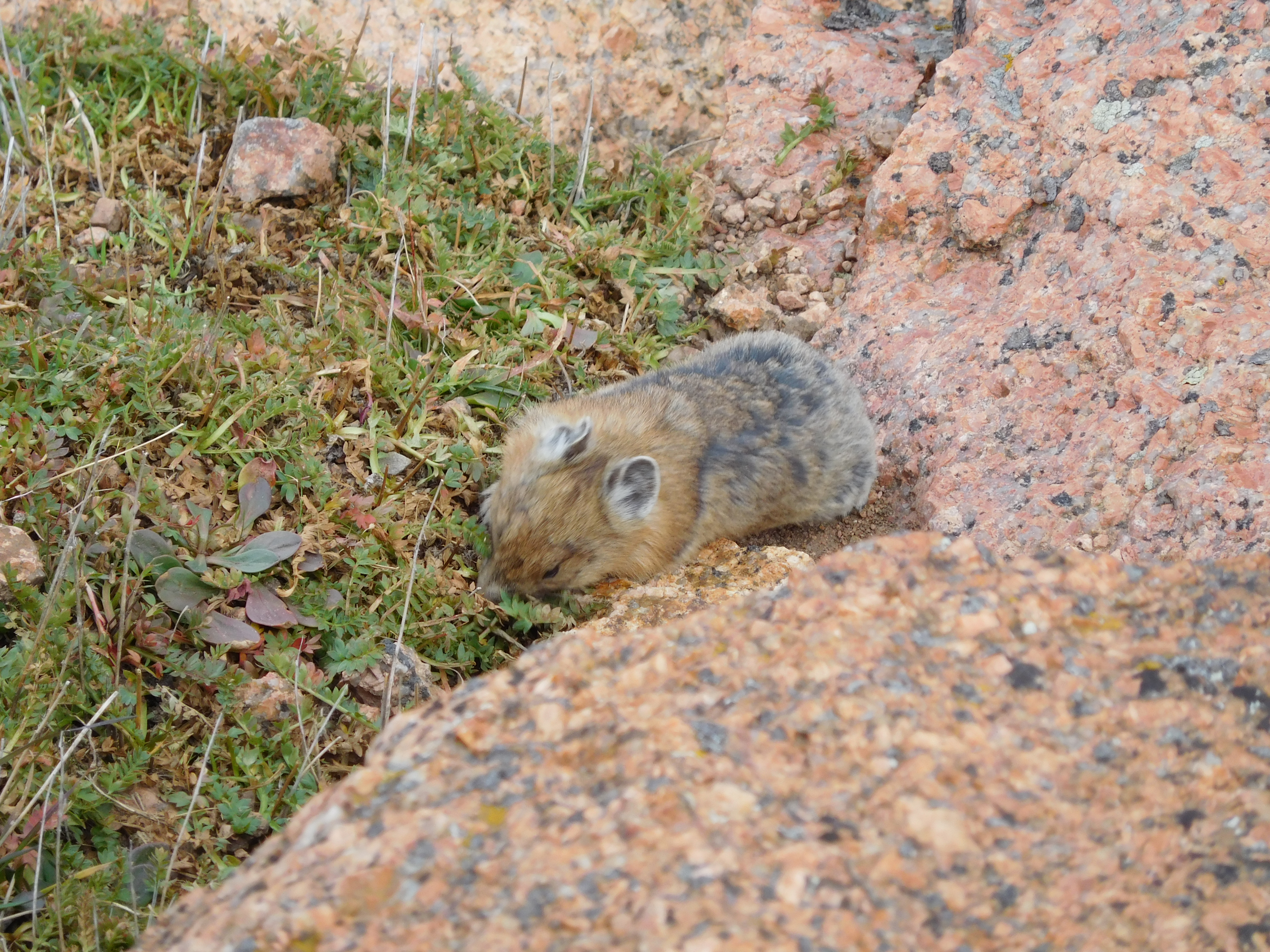
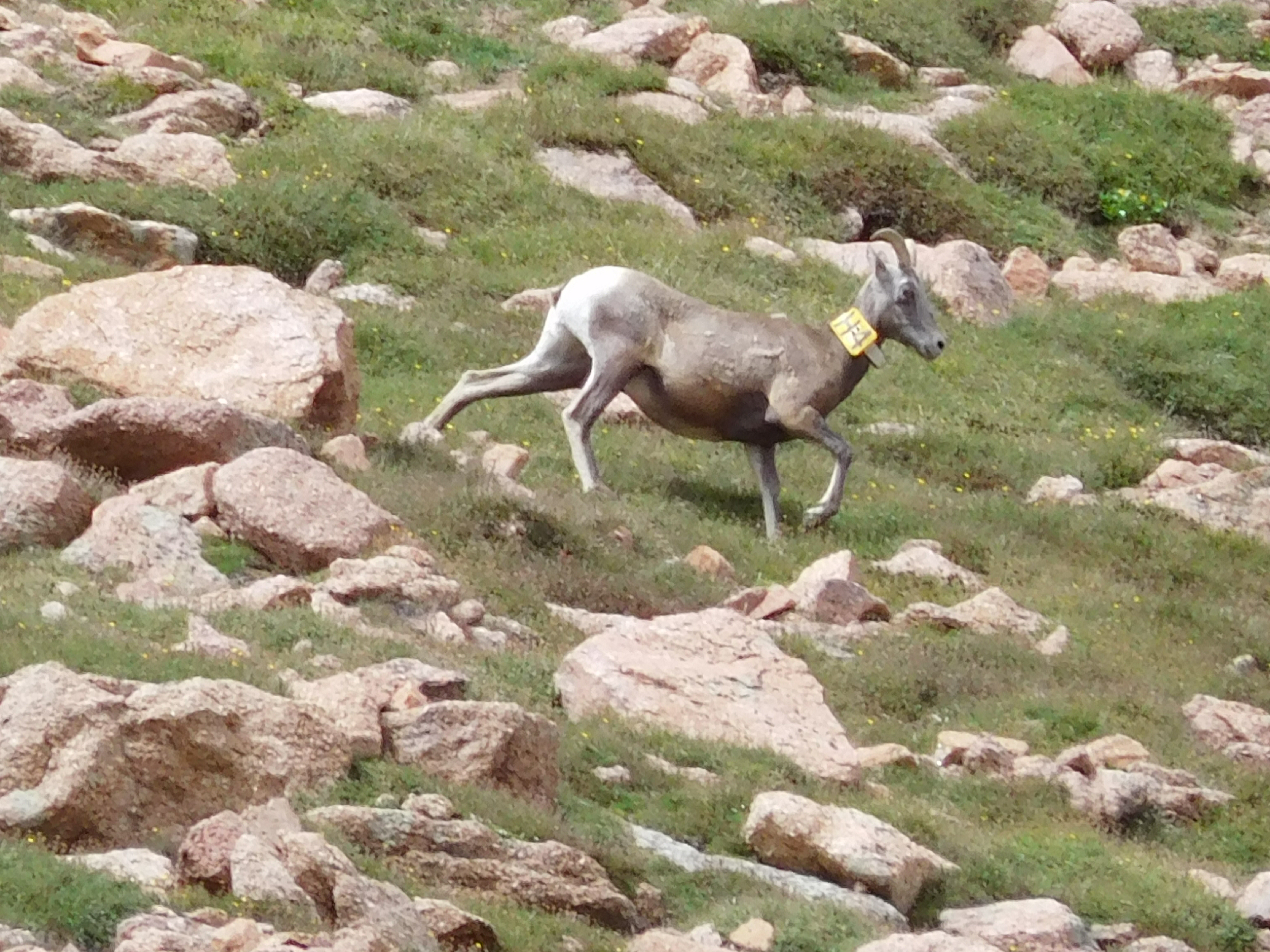
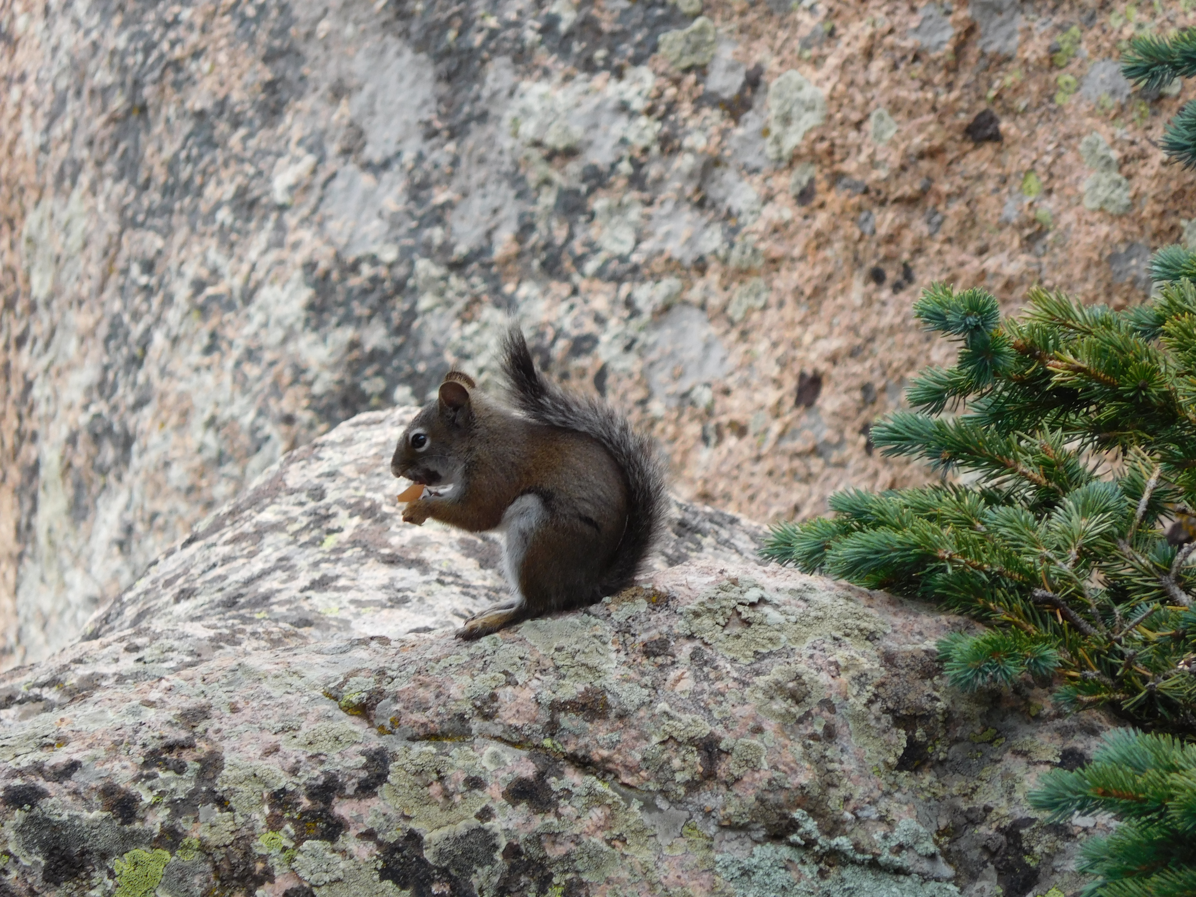
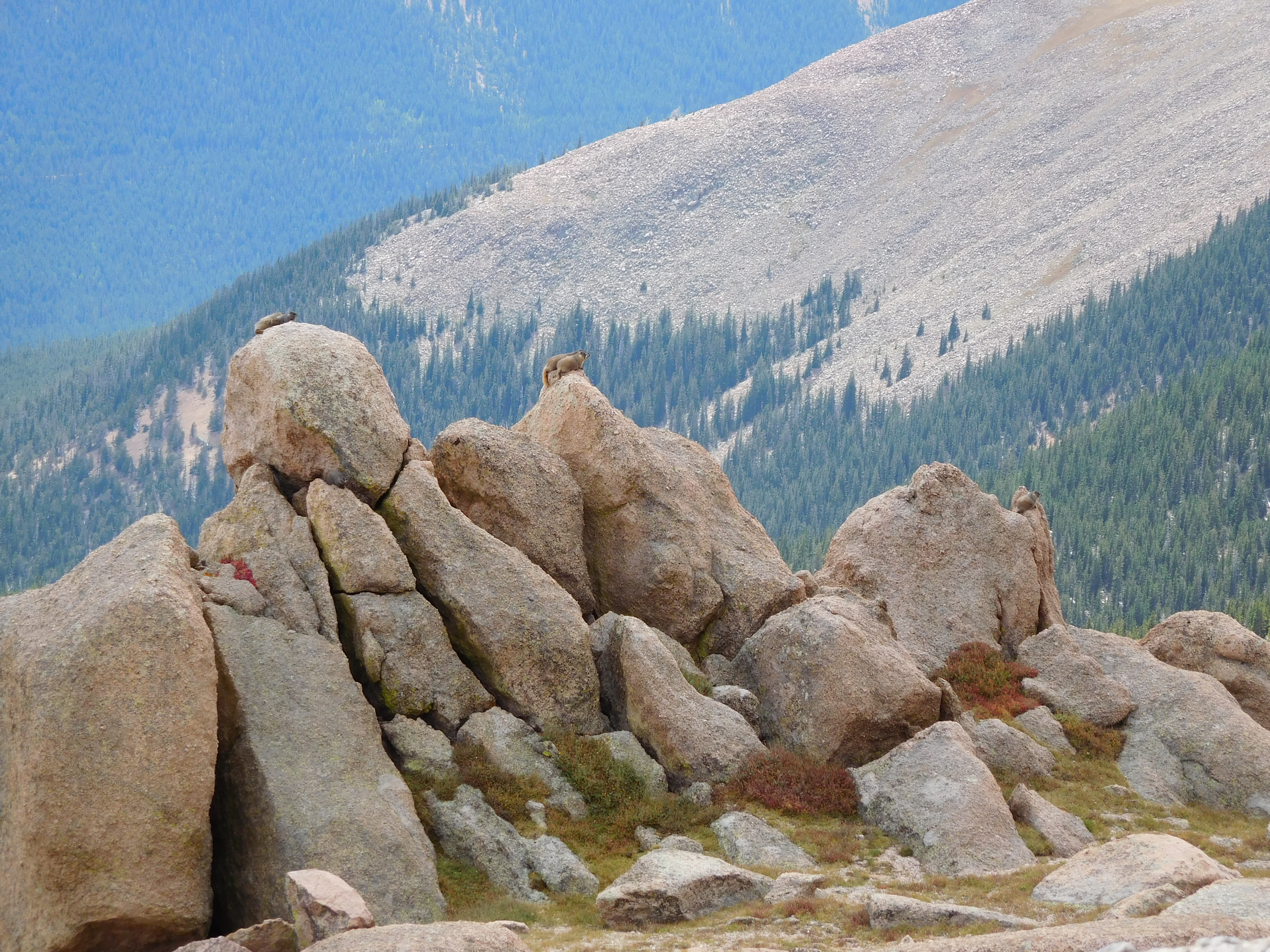
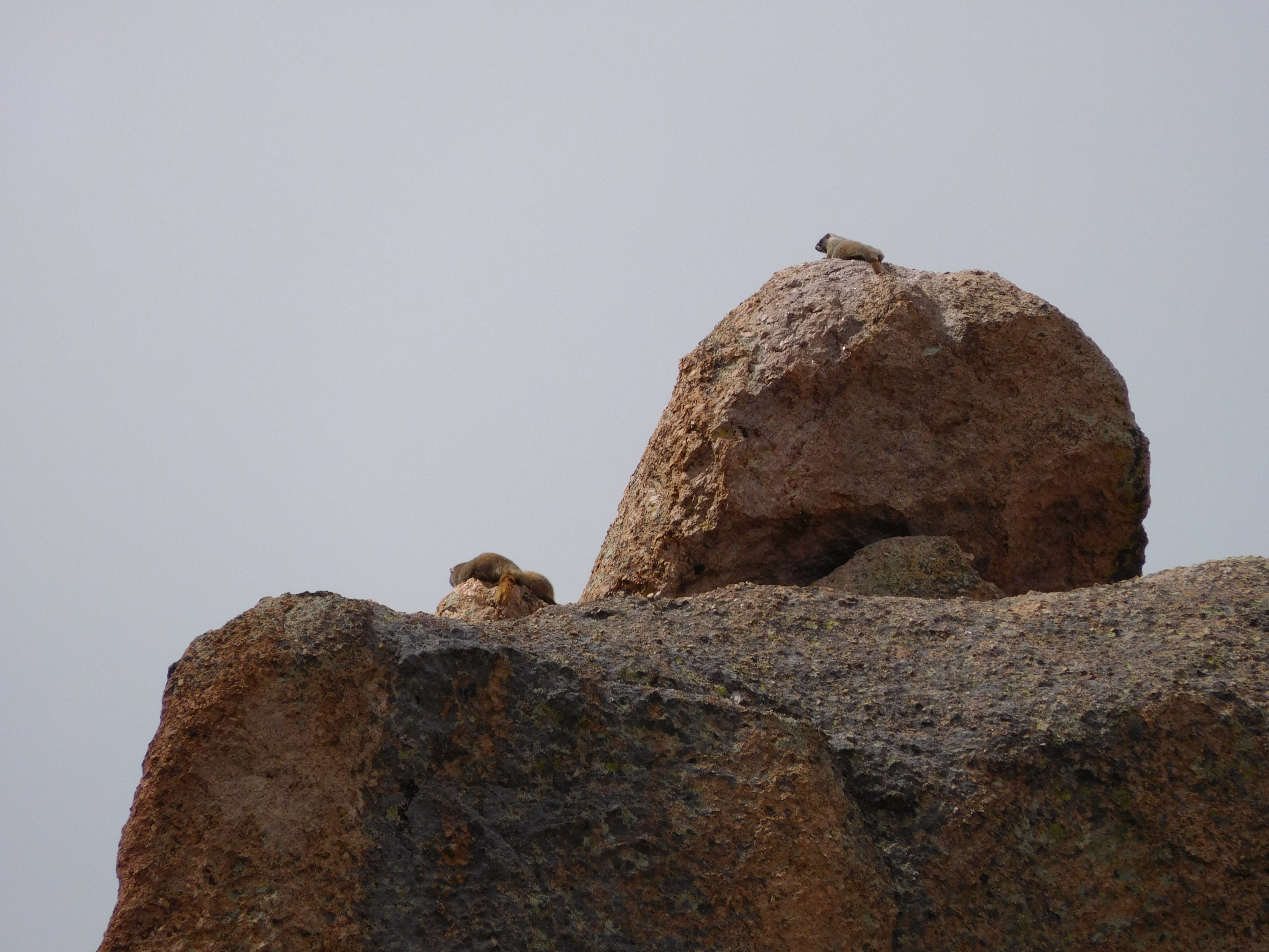
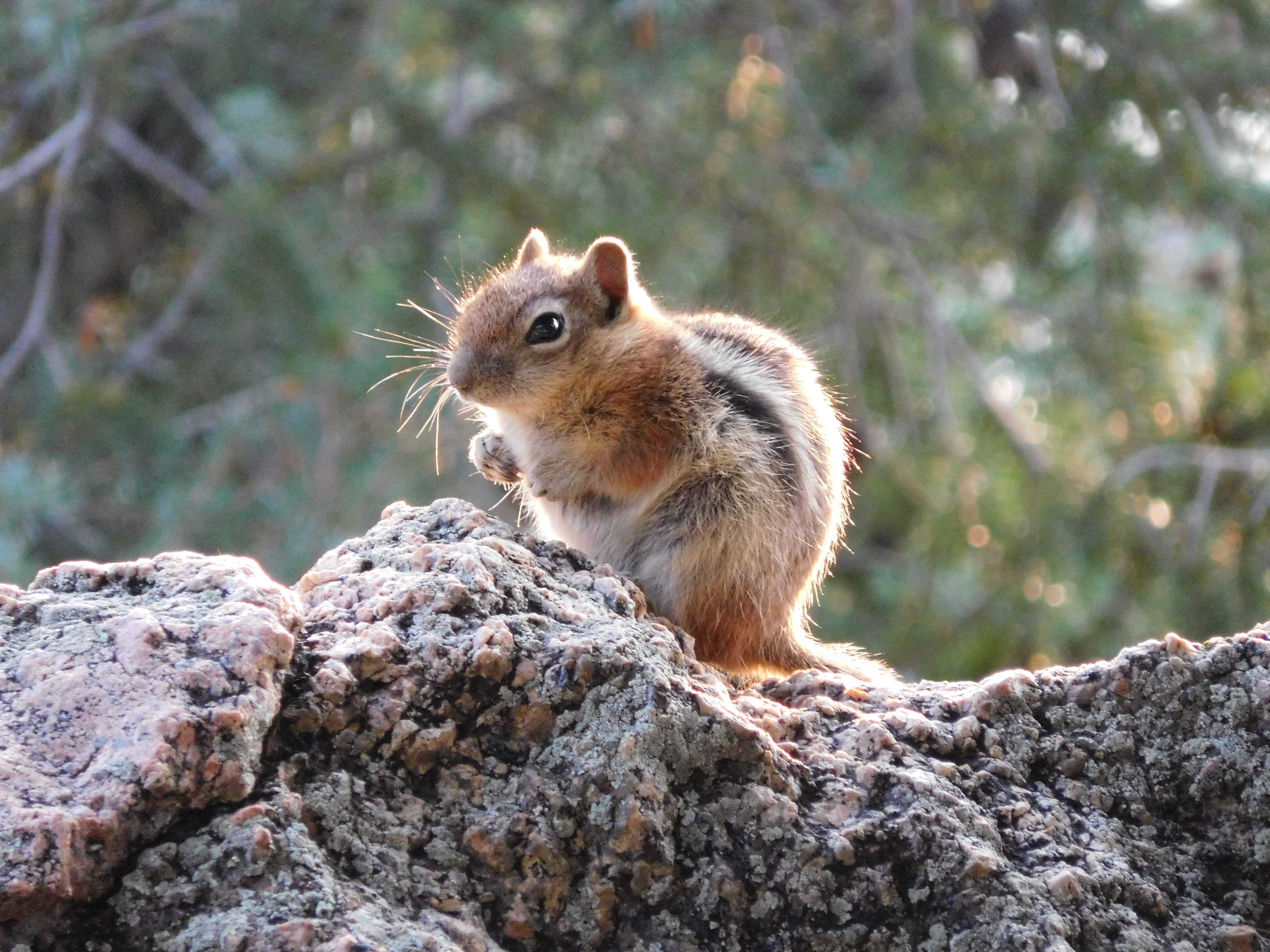
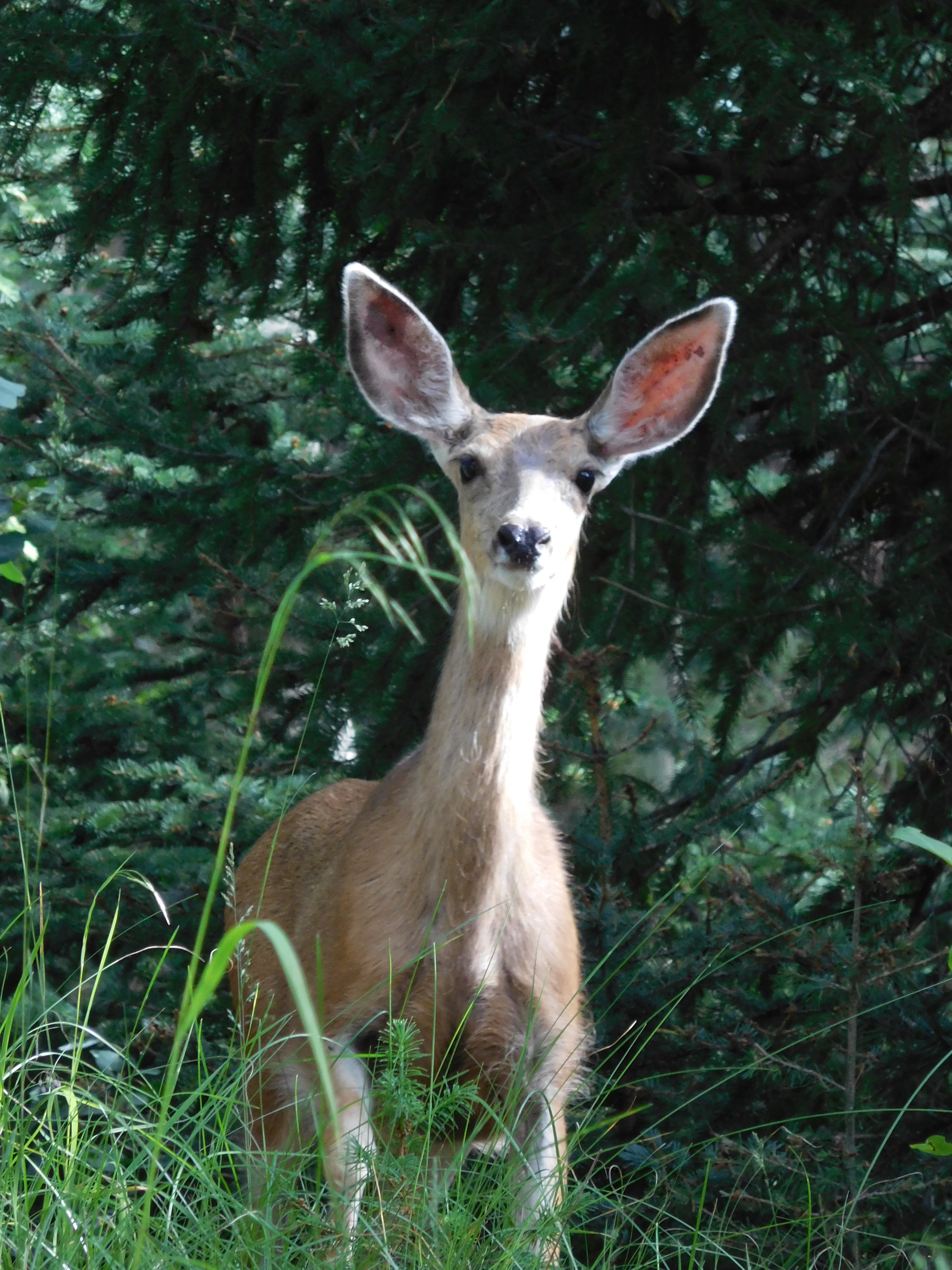
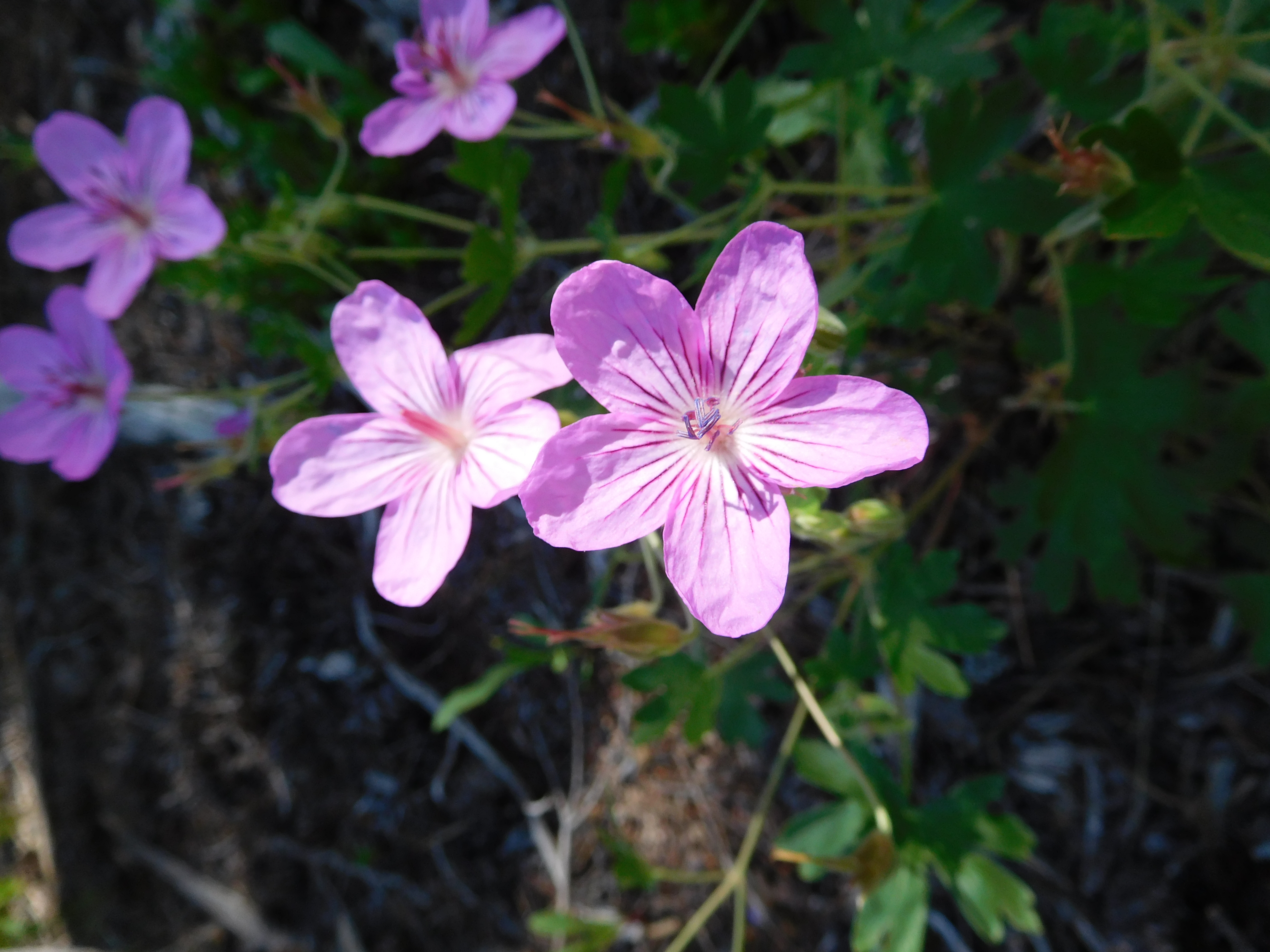
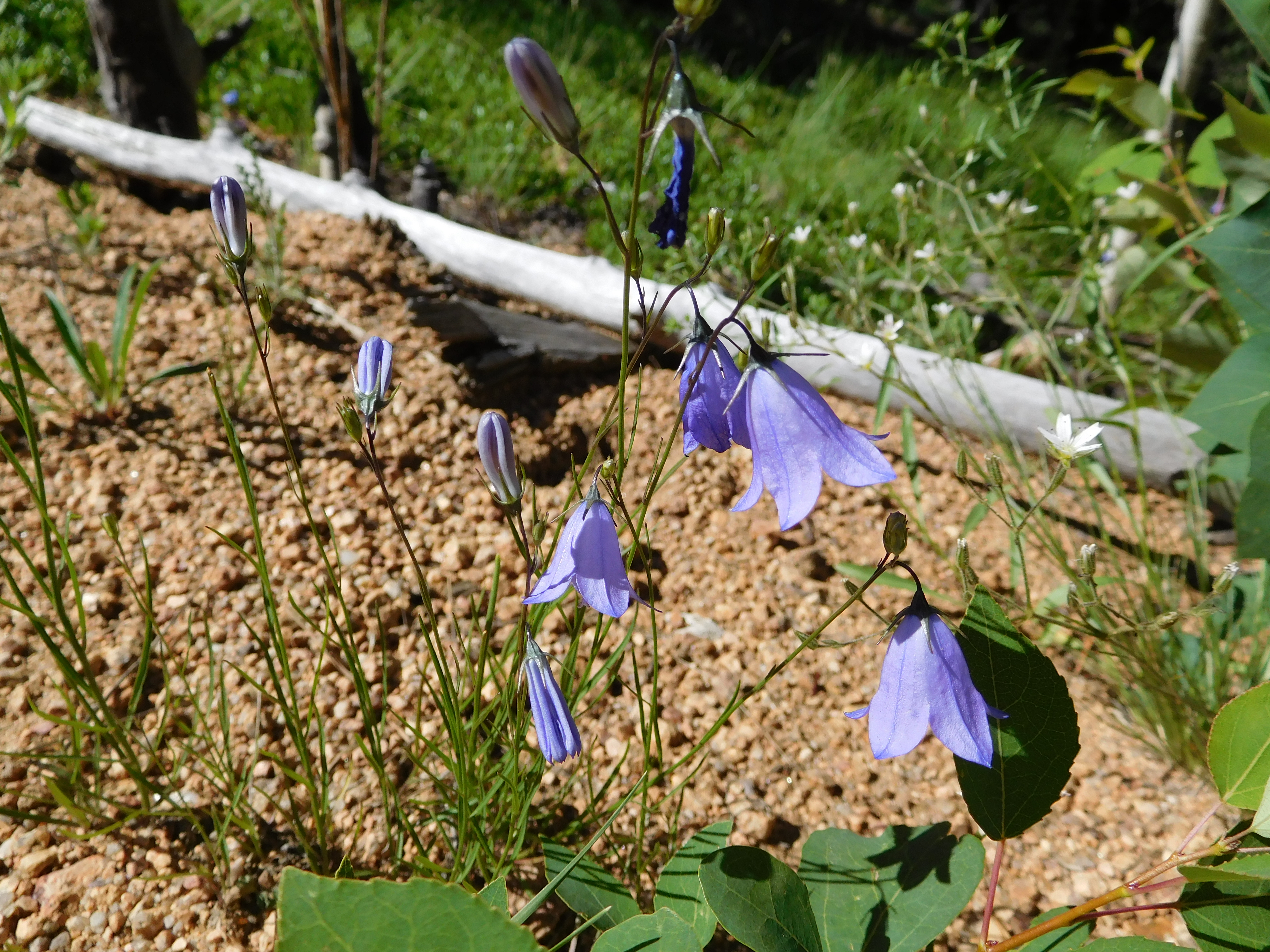
Wildlife

I didn’t get pictures of the deer early in the hike (didn’t think of it in time) or the softball-sized hornet nest by the trail a short distance above Barr Camp (wasps came out when I stopped to look at it, I decided to jog for a bit), but I did get a few decent wildlife pictures:

Camping

The last two weekends I went camping. It turns out when I’m hanging out with other people I don’t take nearly as many pictures (when I even remember my camera). I ended up with no pictures from camping in the Crags (north-west side of Pike’s Peak), though I did have the excuse that my car died on the way there so I missed the group hike to where the view was.

The next weekend I went camping with a couple friends on national forest land near Tarryall. As you can see, it’s quite distant from Pike’s Peak:
Pike's Peak

Here’s the view of the campsite from the top of the rock ridge behind it (I never did take a picture looking at it, just looking down from it):
Campsite

My tent is the green one under a tree to the far left of the picture, and the red Subaru Outback is the new-ish car that replaced the car that died on the way to the Crags. That actually worked out rather well for this campout because the last bit of road isn’t really maintained and I very much used both the all-wheel-drive (in the mud pit after it rained) and ground clearance (uneven rocky road) of my Subaru.

The spot where I really wish I’d had my camera with me was when we went mountain biking up one of the other roads to some old cabins (ranging from a log cabin built into the side of the hill to a structure that used milled lumber and concrete). That was my first time mountain biking: now I’m occasionally browsing craigslist looking for a good deal on a mountain bike.

The family that was hosting the campout (they brought their camper and toys and did most of the cooking) had a hummingbird feeder set up. I was rather impressed by the amount of traffic it got, though none of my attempts at getting a picture of a hummingbird actually came out. The hummingbirds weren’t overly willing to share, so all weekend we got to listen to their little trills of aggression as they chased each other away from the feeder.

Since I hadn’t been in a couple weeks (due to camping/no car) I did the incline way to early this morning. Here’s the sun rising through they haze of smoke from distant wildfires:
Sunrise

It was cold and tiring, but despite not really eating breakfast beforehand (a fruit cup and a granola bar on the way there) I beat my previous best time up. Here’s a ground squirrel that agreed with me that it was chilly (it was shivering):
Squirrel

Mt Manitou

I finally hiked to the top of Mt Manitou this weekend:
Summit Log Jars

Those are the jars that hold the visitor log for the summit. Based on the frequency of entries (the older, almost full notepad went all the way back to 2007) I was probably the only person to make that hike this weekend.

Of course, if it were a more frequently visited mountain there might actually be a trail. As it is you take Barr trail to the fork with the sign for the experimental forest, then take the road that goes by there until it meets another road. Take a right uphill, then as the road starts leveling out look for an easy slope on your left and just go uphill from there. Eventually you get to the top (which is covered in trees so there’s not a good panoramic view), but just downhill to the east there’s a big rock that you can get up on for a view of the springs:
colorado springs

The biggest surprise in terms of animals seen was a deer:
deer
She was between the tent set up by the creek and the group of campers up the trail at the experimental forest station (they had a fire going on one of the old concrete foundations). She watched (and listened to) me from a distance as I went by on the road.

There were lots of flowers in bloom, and I took enough pictures a couple actually turned out nicely:
5 petal purple flowers

Bell-shaped purple flowers