Camping

The last two weekends I went camping. It turns out when I’m hanging out with other people I don’t take nearly as many pictures (when I even remember my camera). I ended up with no pictures from camping in the Crags (north-west side of Pike’s Peak), though I did have the excuse that my car died on the way there so I missed the group hike to where the view was.

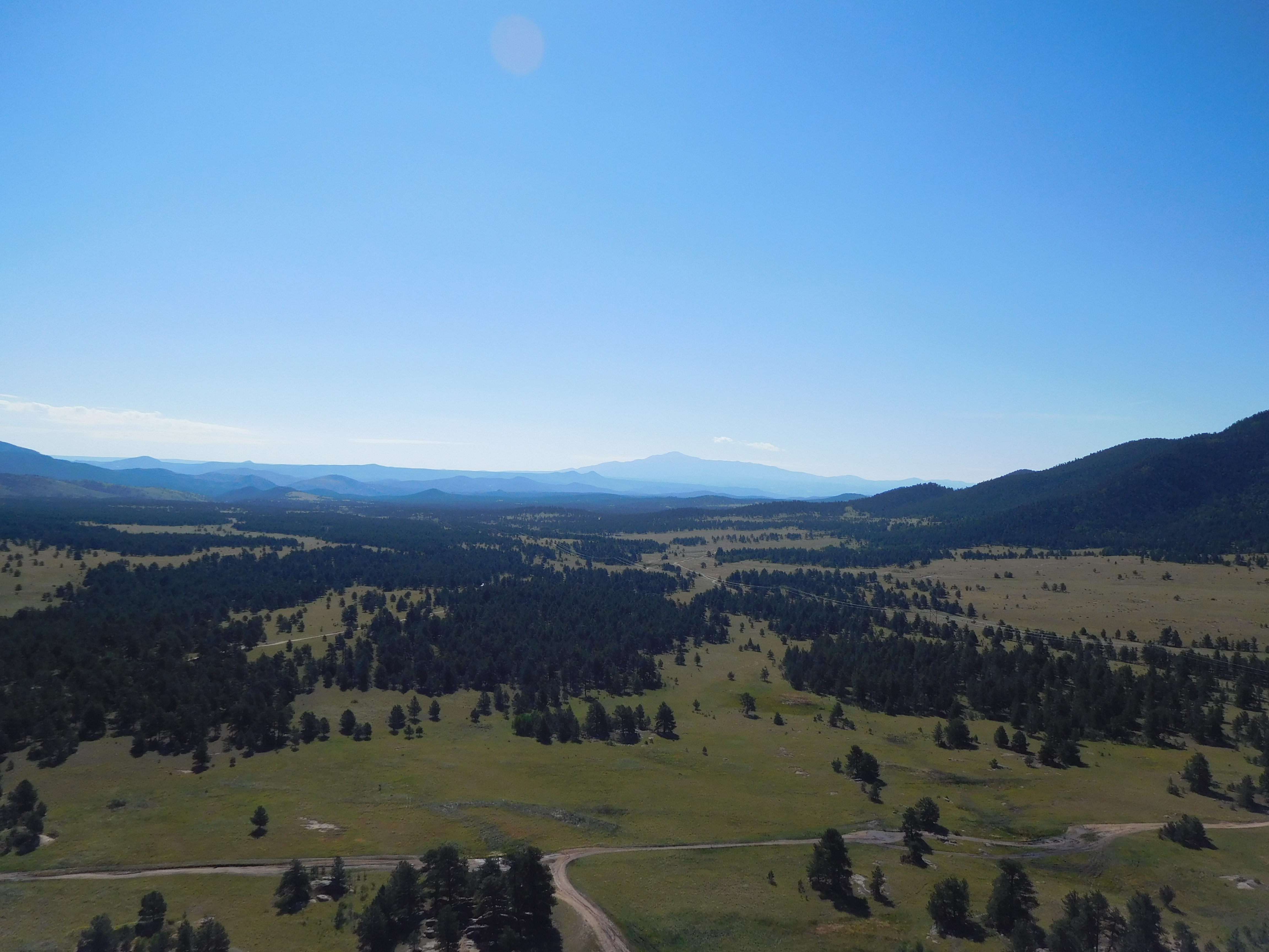
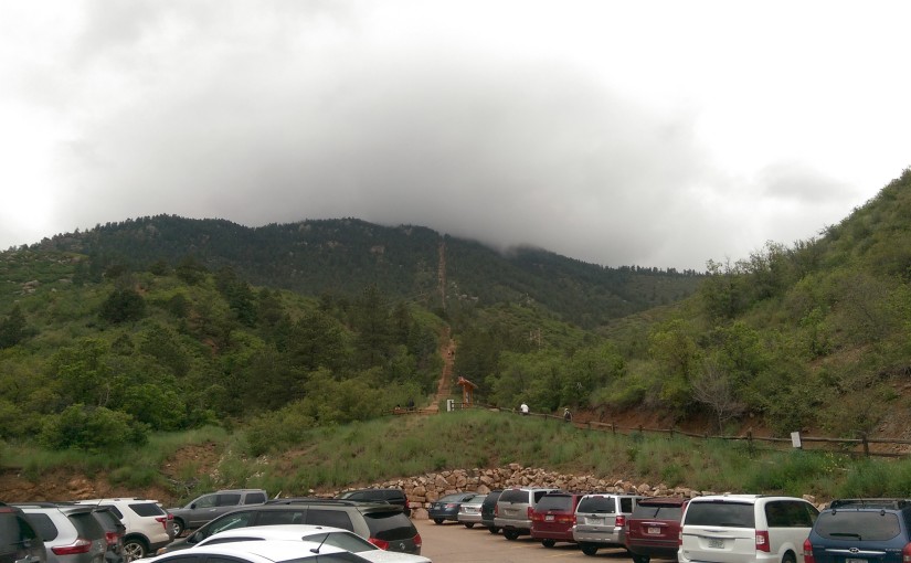
The next weekend I went camping with a couple friends on national forest land near Tarryall. As you can see, it’s quite distant from Pike’s Peak:
Pike's Peak

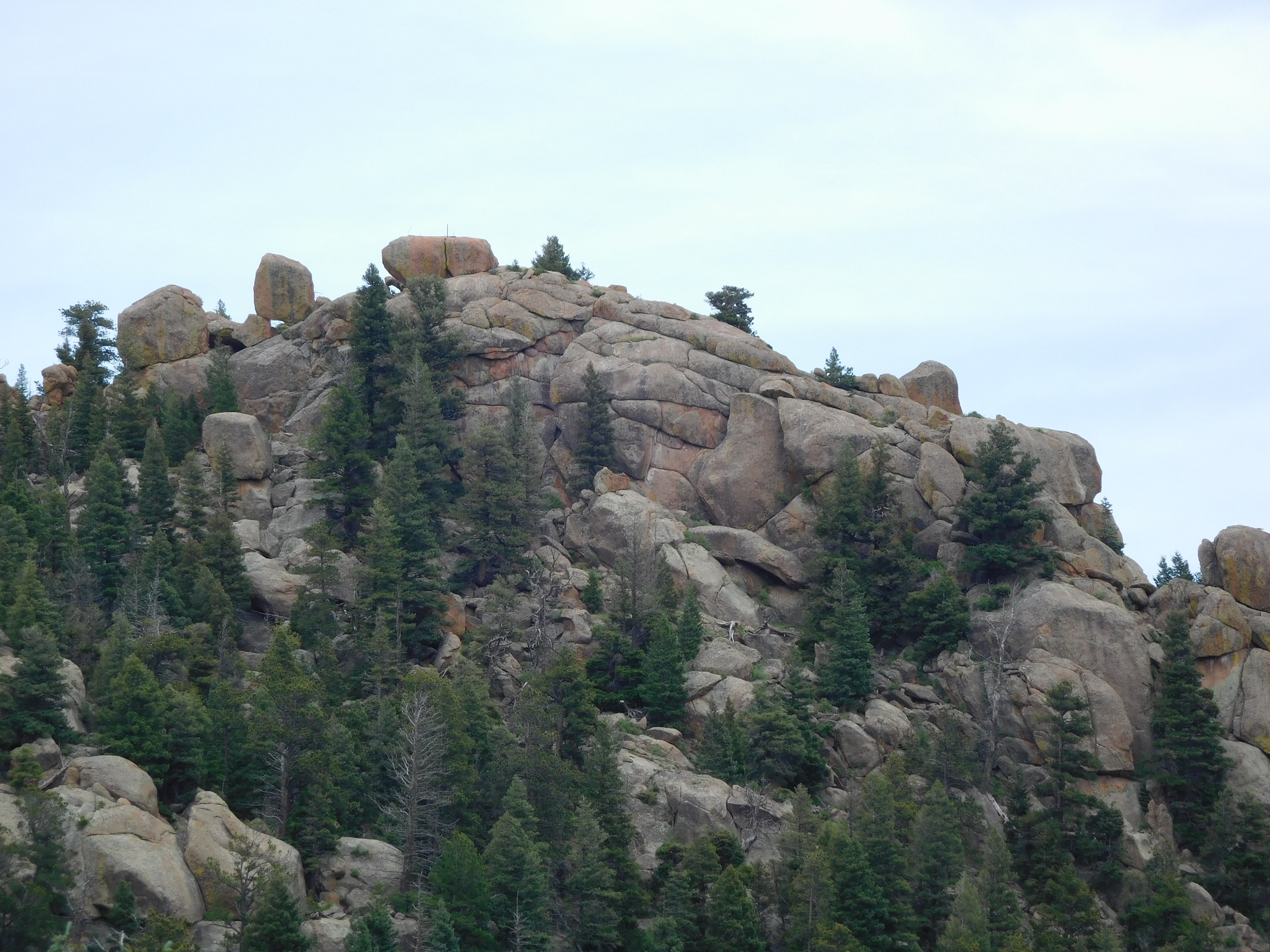
Here’s the view of the campsite from the top of the rock ridge behind it (I never did take a picture looking at it, just looking down from it):
Campsite

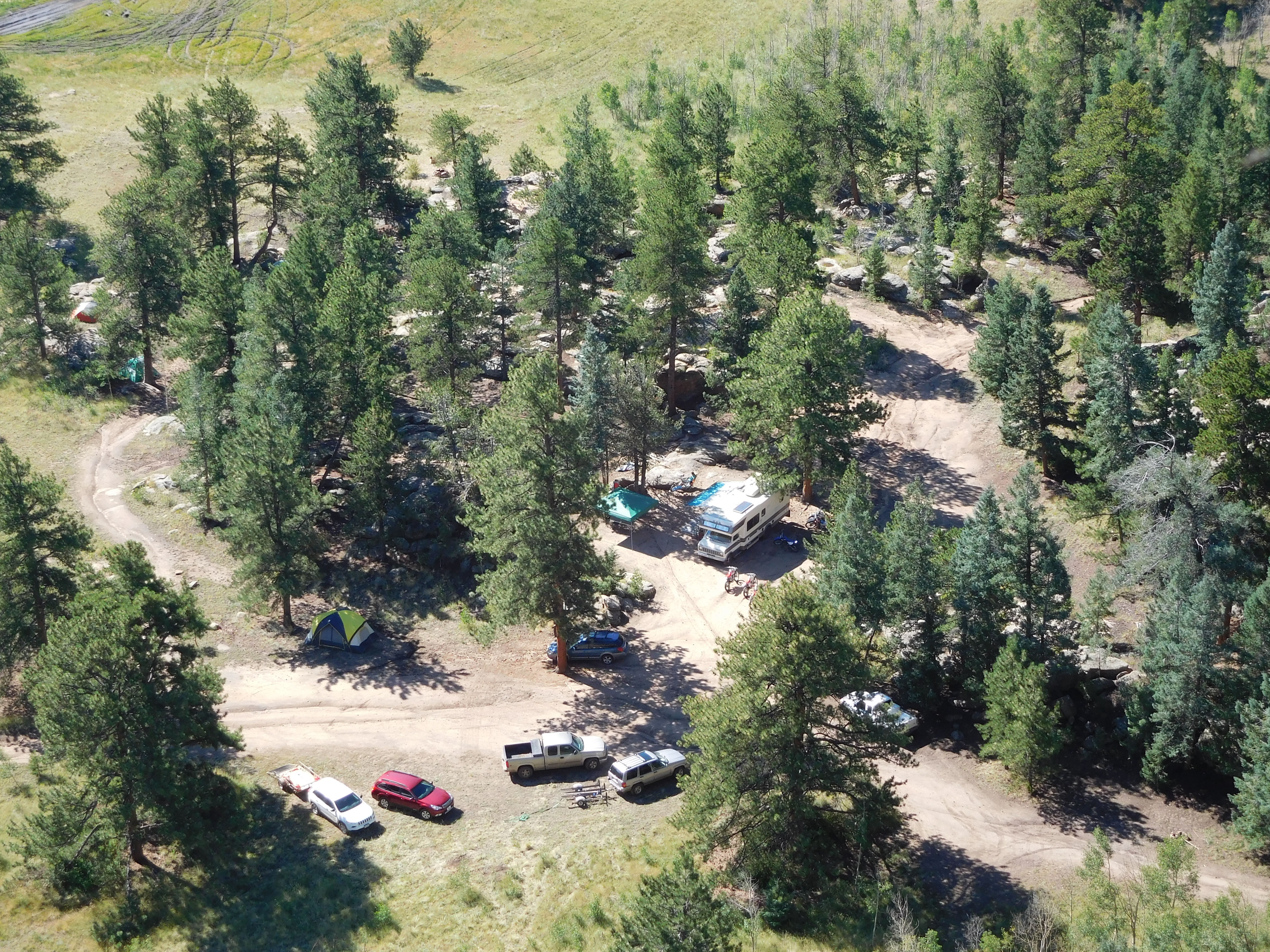
My tent is the green one under a tree to the far left of the picture, and the red Subaru Outback is the new-ish car that replaced the car that died on the way to the Crags. That actually worked out rather well for this campout because the last bit of road isn’t really maintained and I very much used both the all-wheel-drive (in the mud pit after it rained) and ground clearance (uneven rocky road) of my Subaru.

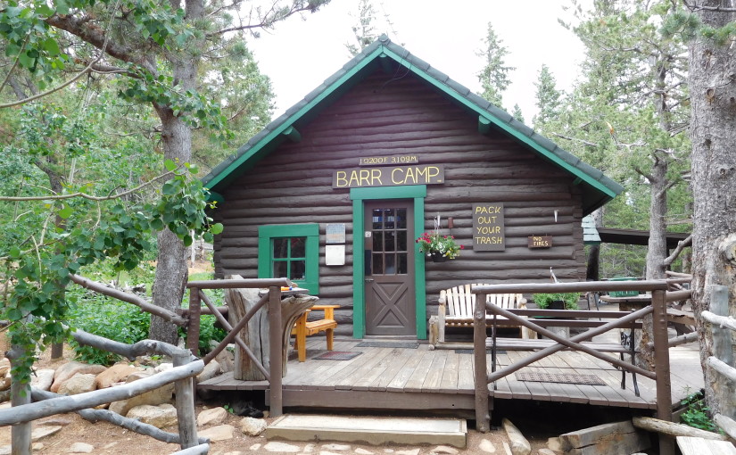
The spot where I really wish I’d had my camera with me was when we went mountain biking up one of the other roads to some old cabins (ranging from a log cabin built into the side of the hill to a structure that used milled lumber and concrete). That was my first time mountain biking: now I’m occasionally browsing craigslist looking for a good deal on a mountain bike.

The family that was hosting the campout (they brought their camper and toys and did most of the cooking) had a hummingbird feeder set up. I was rather impressed by the amount of traffic it got, though none of my attempts at getting a picture of a hummingbird actually came out. The hummingbirds weren’t overly willing to share, so all weekend we got to listen to their little trills of aggression as they chased each other away from the feeder.

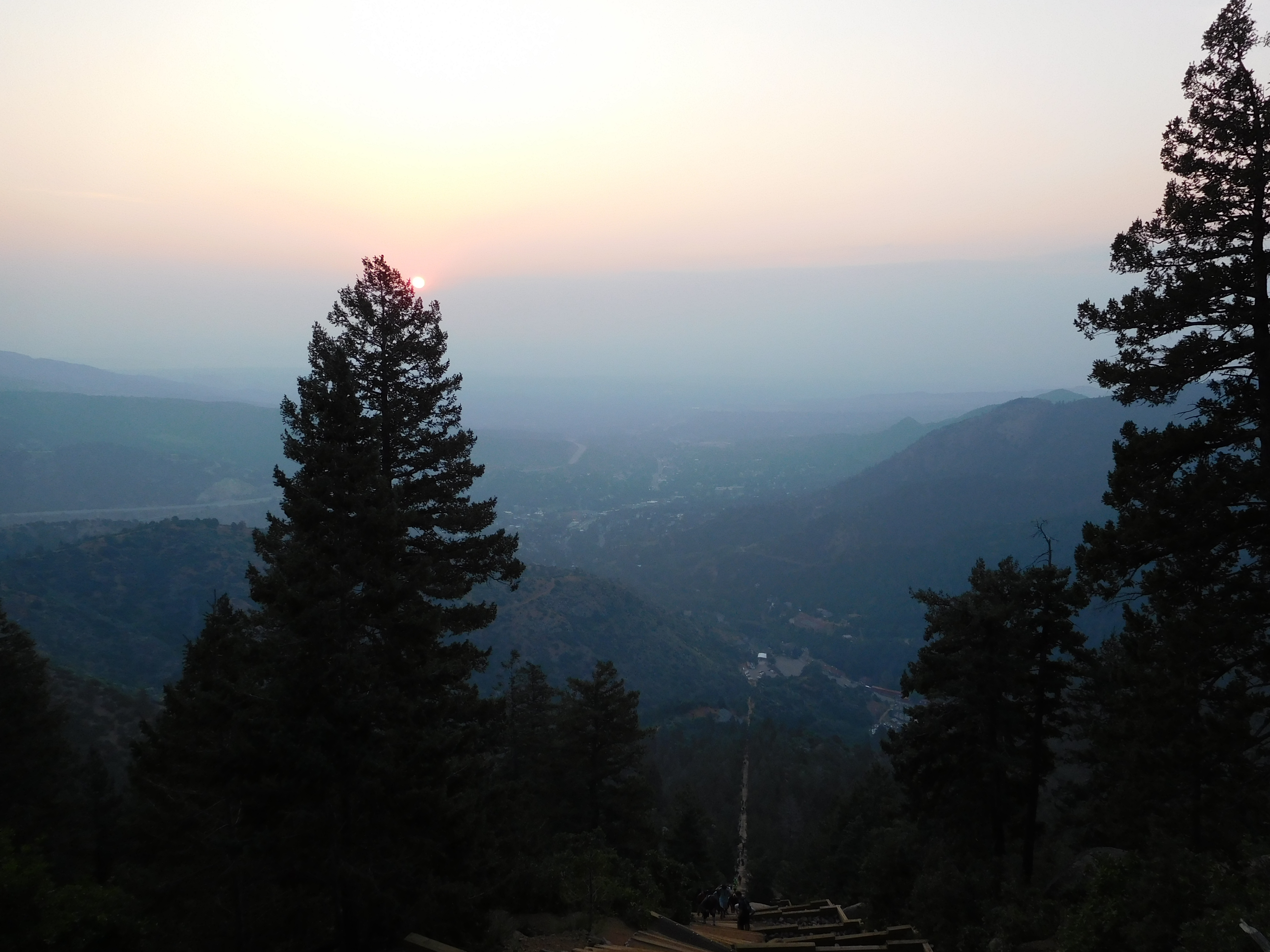
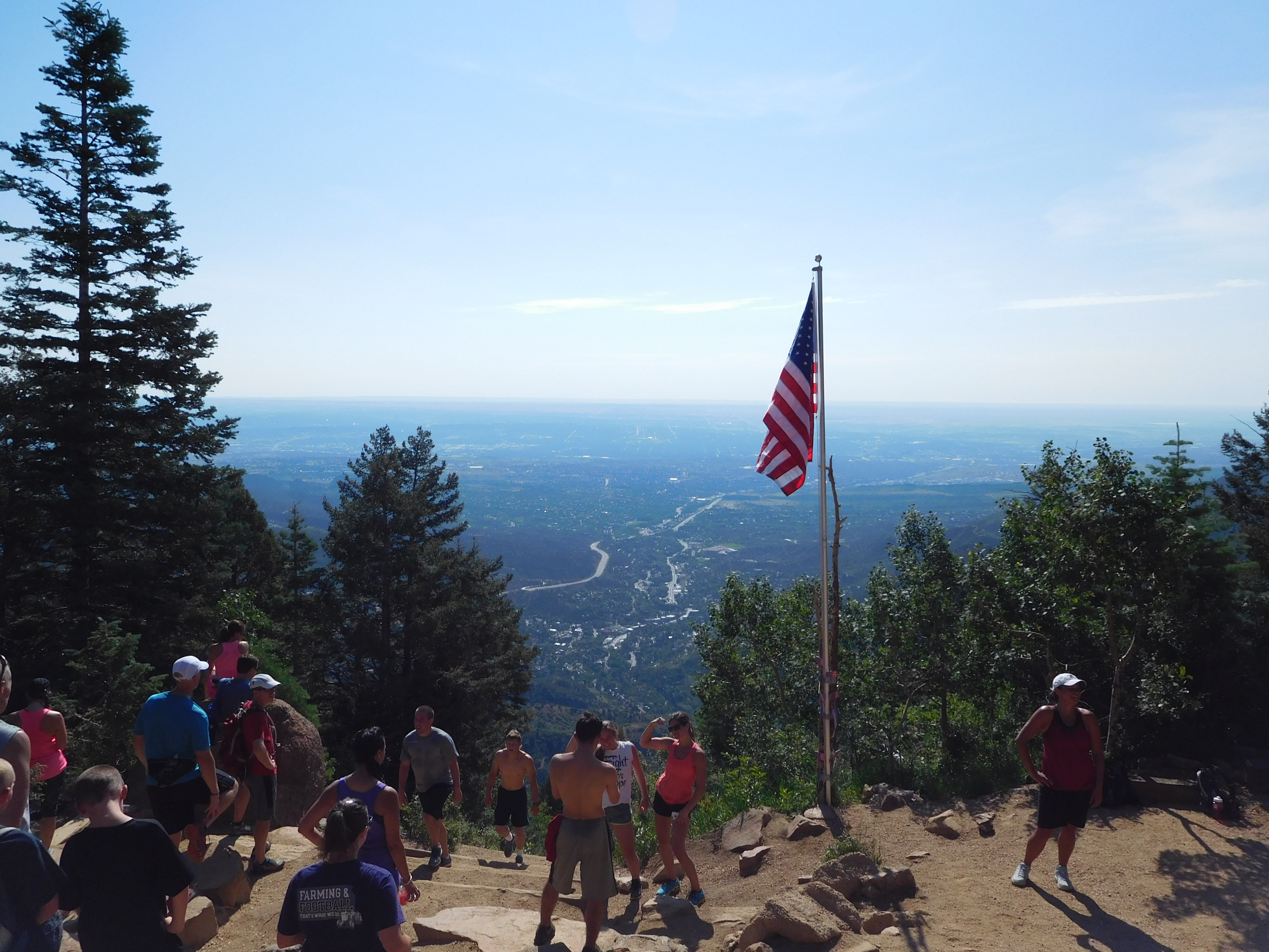
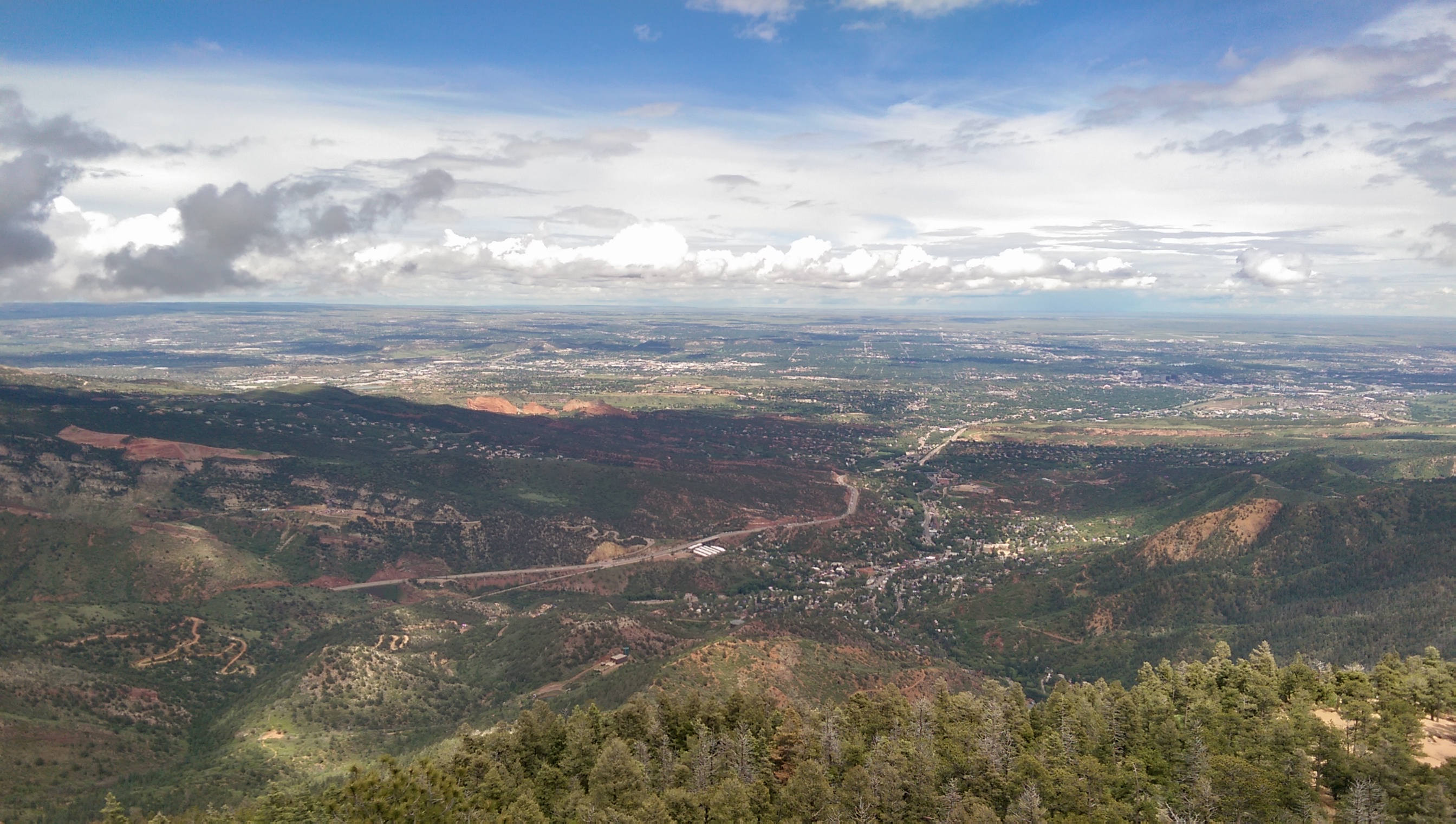
Since I hadn’t been in a couple weeks (due to camping/no car) I did the incline way to early this morning. Here’s the sun rising through they haze of smoke from distant wildfires:
Sunrise

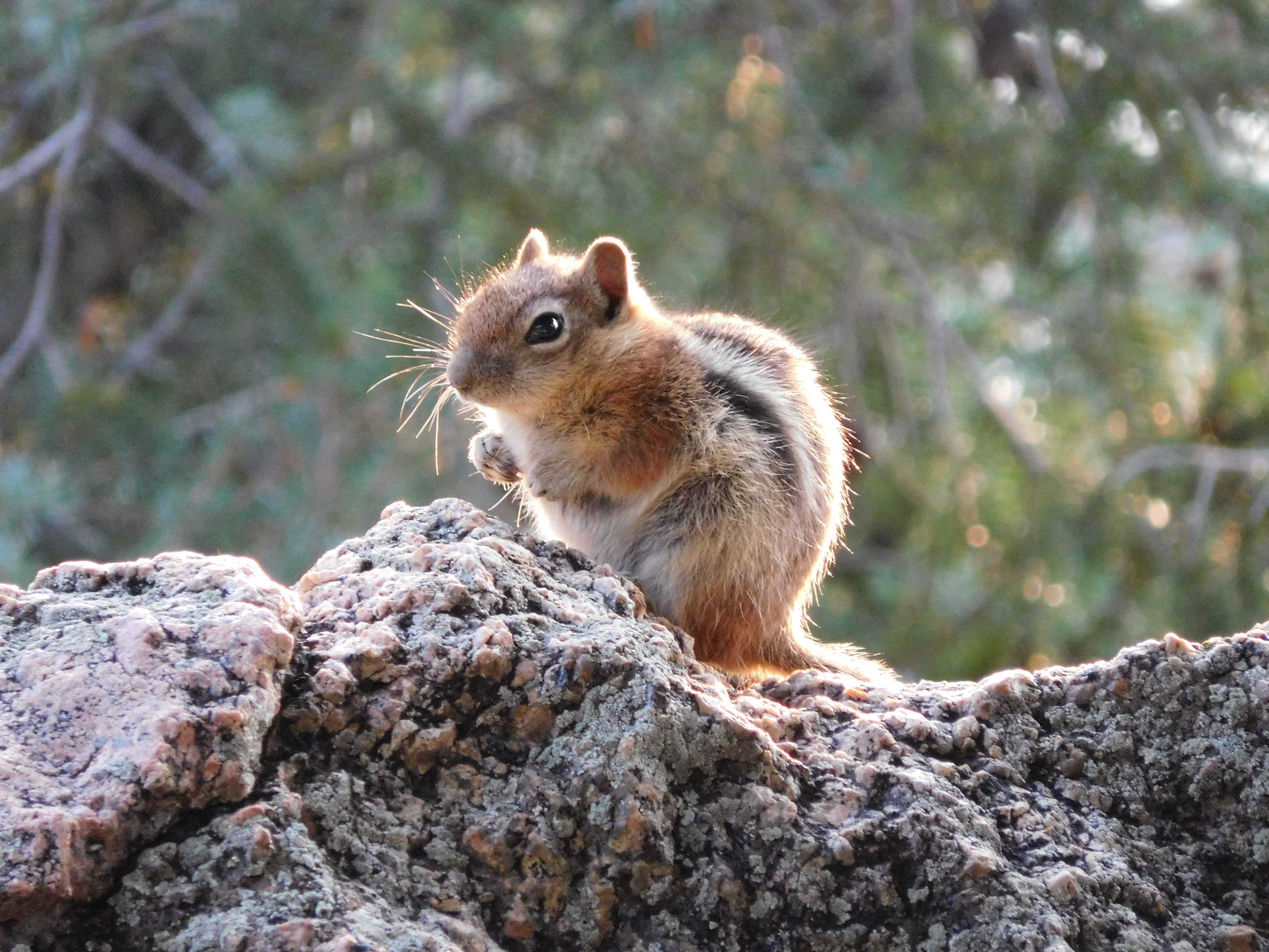
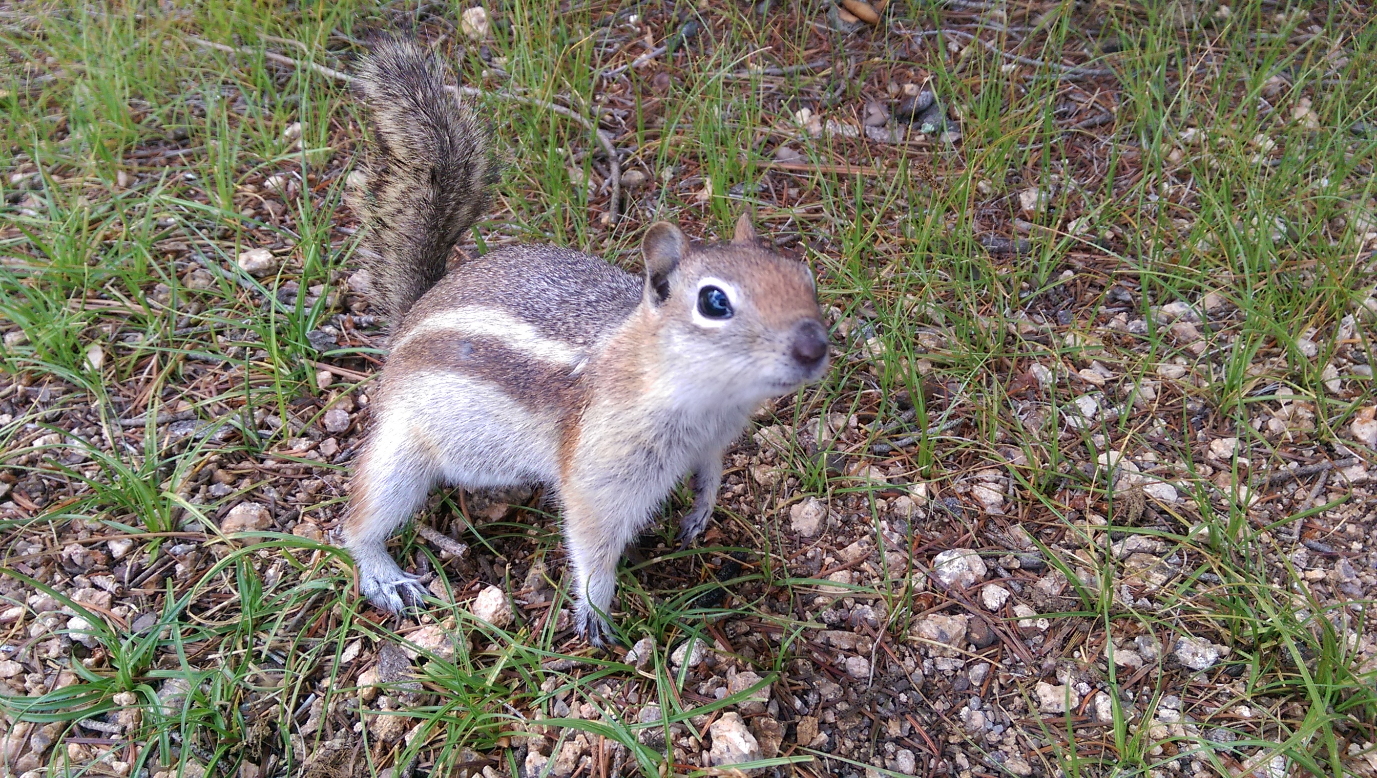
It was cold and tiring, but despite not really eating breakfast beforehand (a fruit cup and a granola bar on the way there) I beat my previous best time up. Here’s a ground squirrel that agreed with me that it was chilly (it was shivering):
Squirrel

New Toys

As the header picture indicates I hiked to over 10,000 feet elevation on Thursday. That’s half way from Manitou Springs to the top of Pike’s Peak along Barr Trail. The cabin was bigger than I expected (not that I really knew what to expect).

I got a new camera this week so now I have an actual zoom. That means I can actually get reasonable pictures of the birds I see along the trail. Unfortunately few of the more interesting ones were out and I’m still learning how to use the camera effectively, but I did get a picture of this one:
Bird carrying grass

This is the top of rocky mountain, I was taking pictures from right next to the pipe sticking out of the big rock with a crack through the middle (you might need to enlarge the picture to see that detail):
Rocky Mountain

I also went up the incline the morning of July 4th:
July 4th Incline
They had it all decorated for the 4th of July with flags and such spread along the trail-side. The flagpole at the top is new – someone must have hiked it up earlier that morning. It was also the most crowded I’ve ever seen: the shuttle bus was standing room only and it looked like all parking up Ruxton Avenue was full at around 8:00 am. It turns out 8:00 isn’t a great time to be hiking it because there’s practically no shade on the trail itself and it’s starting to get hot. Considering the sun comes up at like 5:45 it’s probably well enough lit at 6:00 and doubtless much cooler.

Inclined to Climb the Wrong Mountain

The Friday before last (before I went on vacation) I left work early intending to hike to the top of Mount Manitou. It had been raining and before I left work looked like there were dark clouds still moving in so I took my rain jacket on the hike. Naturally, the sun was out by the time I got 3/4ths of the way to the top, but at least it wasn’t crowded at all.

For the first time I actually packed a snack to eat at the top. That made me friends:
Ground Squirrel

The ground squirrels (not a chipmunk – chipmunks stripes extend across their head) were actually fighting over who got to come and beg for food. I didn’t share but even with me holding it close and swatting at any critter that came close enough to make a grab for my cliff bar I got a number of close-up pictures.

Once I’d rested and snacked I made another trip to the top of Eagle’s Nest:
Eagle's Nest
Garden of the Gods is left of center along the line of shadow from clouds, and the clearing at the top of the incline is to the far right of the picture.

After I’d found a way back down (cautiously, there were indications that a bear had been there recently) I headed up Barr trail and took the turnoff to the Old Fremont Experimental Forest. The experimental forest is a site where they experimented on what trees would grow best in the Rocky Mountains and how best to get trees started and nurture them with reforestation in mind. Here’s a picture of the site as it stands today:
Fremont Station Remains

Past the forest station it should have been a straight shot uphill to the top of Mount Manitou, mostly along what I’m guessing are forest service roads. Unfortunately I had no map or data signal for my phone and I picked the wrong slope to climb when the road turned away. I didn’t see any other trails (or people, it’s apparently not a well-traveled area) so I just hiked uphill until I got to the local maximum:

The point labeled “Local Max” in the “Misc” layer is where I ended up. It’s either an unnamed bump on the ridge or it’s part of Rocky Mountain. Unfortunately it’s covered in trees and one of the few things visible was Mount Manitou in the distance:
Mount Manitou

I’ll have to try again sometime soon – I was out of time that evening and didn’t have time to explore more.